Photograph as originally submitted to
this page in the Historical Marker Database
www.HMdb.org.
Click on photo to resize in browser. Scroll down to see metadata.
Photographer: Map courtesy of the John Carter Brown Library, Brown University
Taken: June 4, 2020
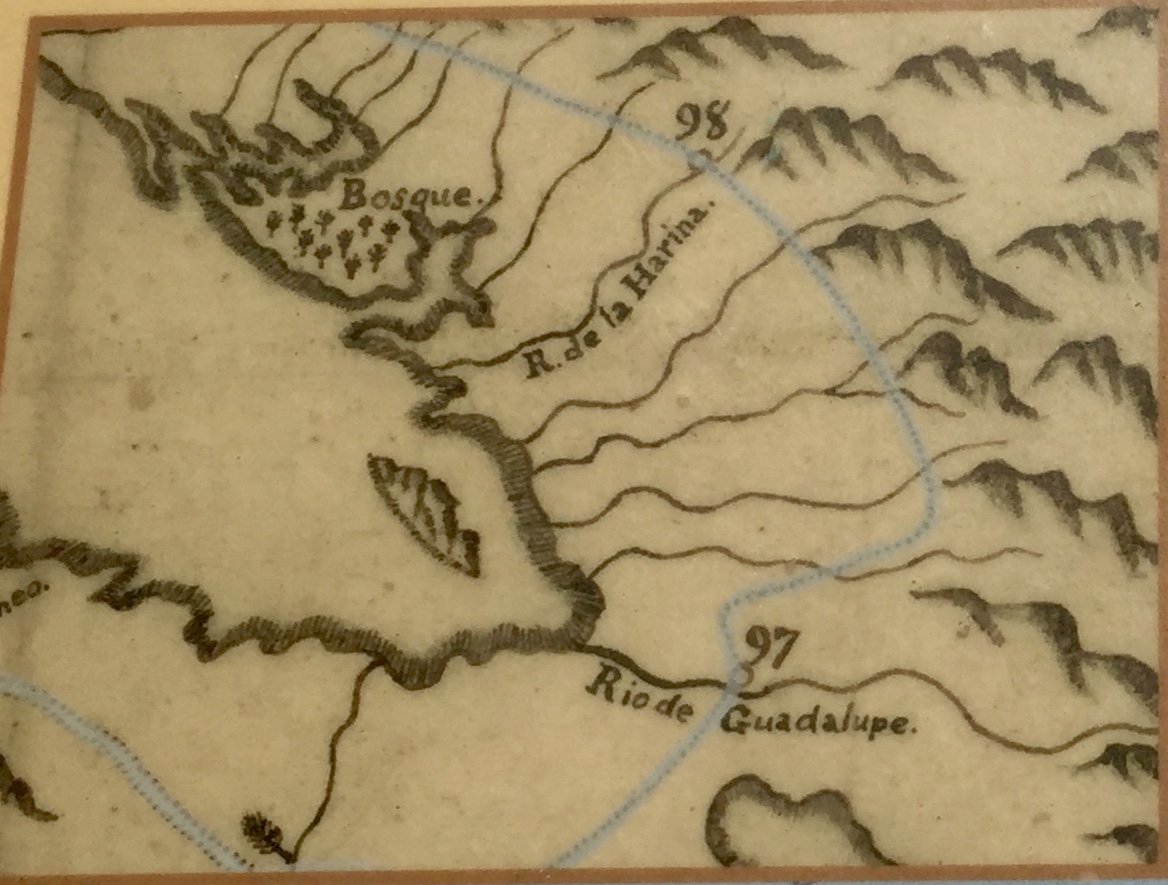
Caption:
Marker detail: Map of DeAnza route in vicinity of marker | Additional Description: "This section of Father Pedro Font's map of the expedition shows the route along the foothills in the southeast bay where travel was relatively easy."
Submitted: July 21, 2020, by Andrew Ruppenstein of Lamorinda, California.
Database Locator Identification Number: p531398
File Size: 0.288 Megabytes
To see the metadata that may be embedded in this photo, sign in and then return to this page.