Photograph as originally submitted to
this page in the Historical Marker Database
www.HMdb.org.
Click on photo to resize in browser. Scroll down to see metadata.
Caption:
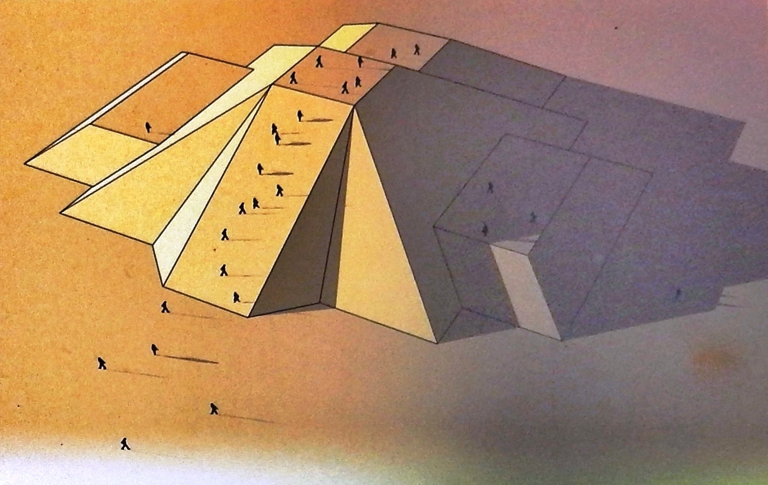
Marker detail: The Great Mound | Additional Description: This site was so carefully planned that all of the earthworks were organized along a main axis — 12 degrees east of north.
Submitted: July 22, 2020, by Cosmos Mariner of Cape Canaveral, Florida.
Database Locator Identification Number: p531568
File Size: 0.531 Megabytes
To see the metadata that may be embedded in this photo, sign in and then return to this page.