Photograph as originally submitted to
this page in the Historical Marker Database
www.HMdb.org.
Click on photo to resize in browser. Scroll down to see metadata.
Caption:
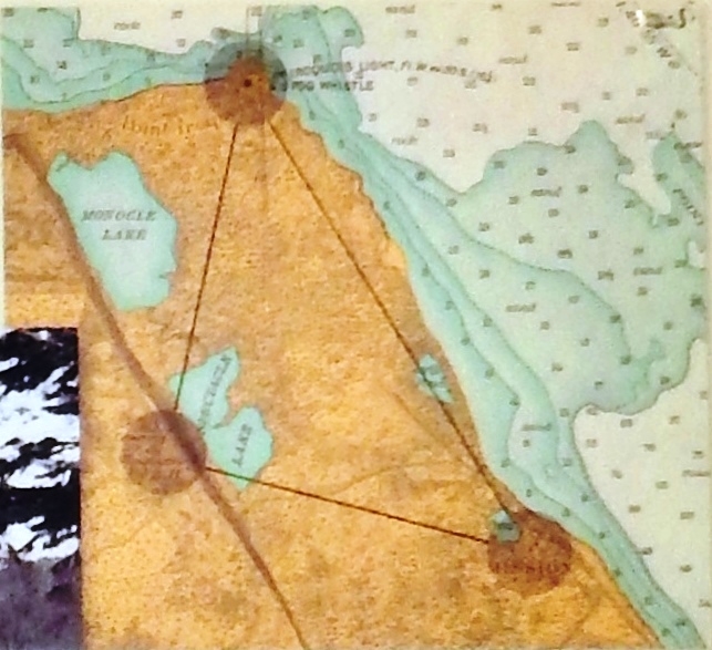
Marker detail: Point Iroquois Map, 1906 | Additional Description:
1906 map showing Point Iroquois, the Indian Mission Settlement, and Mission Hill.Submitted: August 9, 2020, by Cosmos Mariner of Cape Canaveral, Florida.
Database Locator Identification Number: p534120
File Size: 0.182 Megabytes
To see the metadata that may be embedded in this photo, sign in and then return to this page.