Photograph as originally submitted to
this page in the Historical Marker Database
www.HMdb.org.
Click on photo to resize in browser. Scroll down to see metadata.
Photographer: Bernard Fisher
Taken: February 23, 2009
Caption:
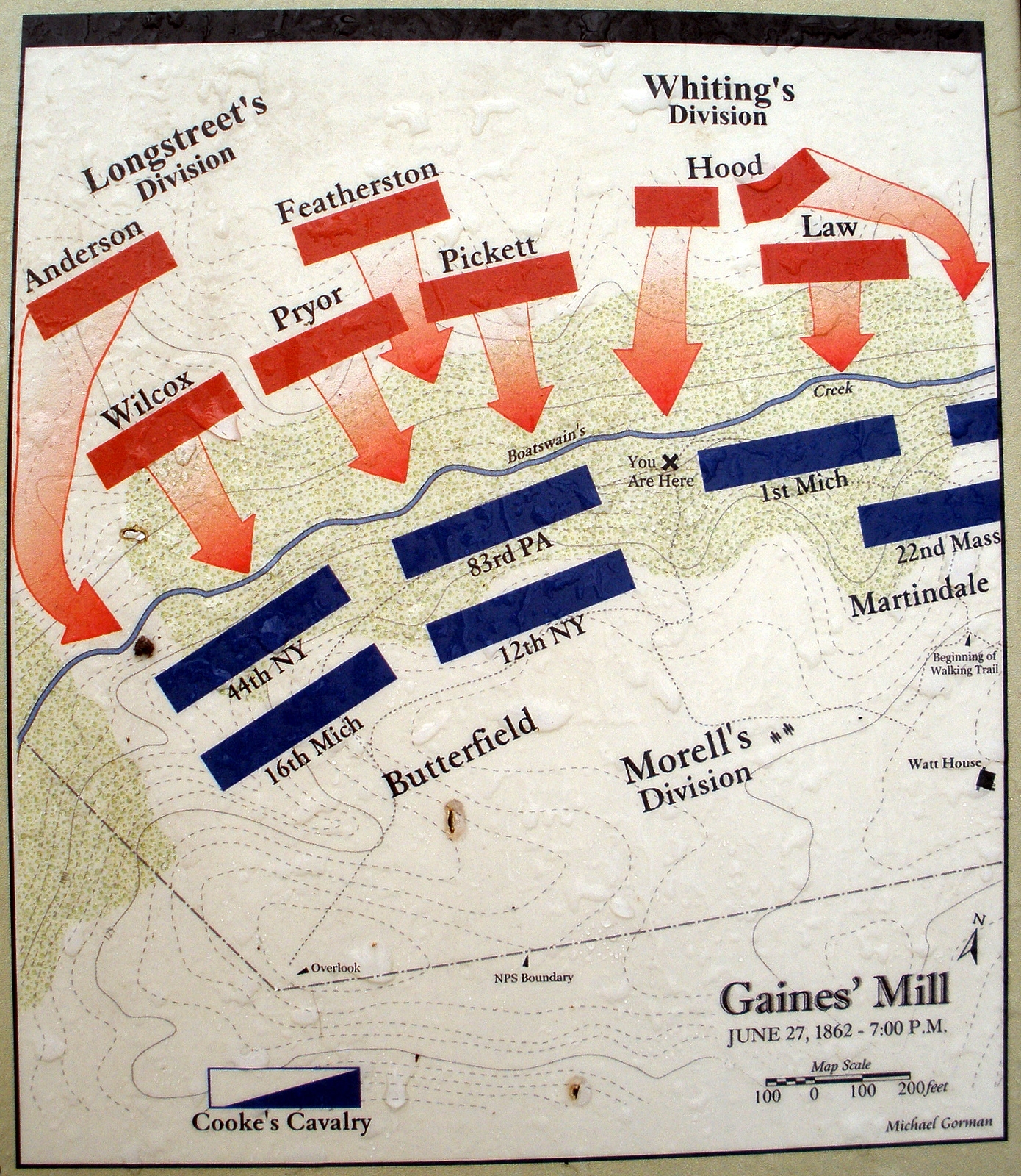
Map of the the Union Left Flank. | Additional Description: Gaines’ Mill June 27,1862 – 7:00 P.M. [by Michael Gorman]
Submitted: February 23, 2009, by Bernard Fisher of Richmond, Virginia.
Database Locator Identification Number: p53936
File Size: 1.269 Megabytes
To see the metadata that may be embedded in this photo, sign in and then return to this page.