Photograph as originally submitted to
this page in the Historical Marker Database
www.HMdb.org.
Click on photo to resize in browser. Scroll down to see metadata.
Caption:
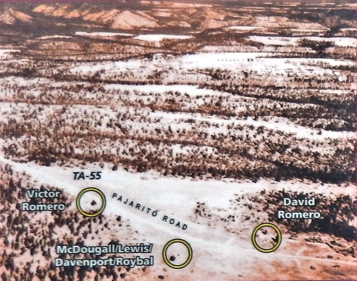
Marker detail: Aerial Photograph, 1946 | Additional Description: The Romero and adjacent homesteads, shown in this 1946 aerial photograph, lay abandoned immediately after the government acquired the land in 1943 but eventually became part of the site of the Laboratory's main plutonium facility at Technical Area 55. The dirt road became present-day Pajarito Road.
Submitted: September 25, 2020, by Cosmos Mariner of Cape Canaveral, Florida.
Database Locator Identification Number: p540220
File Size: 0.714 Megabytes
To see the metadata that may be embedded in this photo, sign in and then return to this page.