Photograph as originally submitted to
this page in the Historical Marker Database
www.HMdb.org.
Click on photo to resize in browser. Scroll down to see metadata.
Photographer: Cosmos Mariner
Taken: June 7, 2014
Caption:
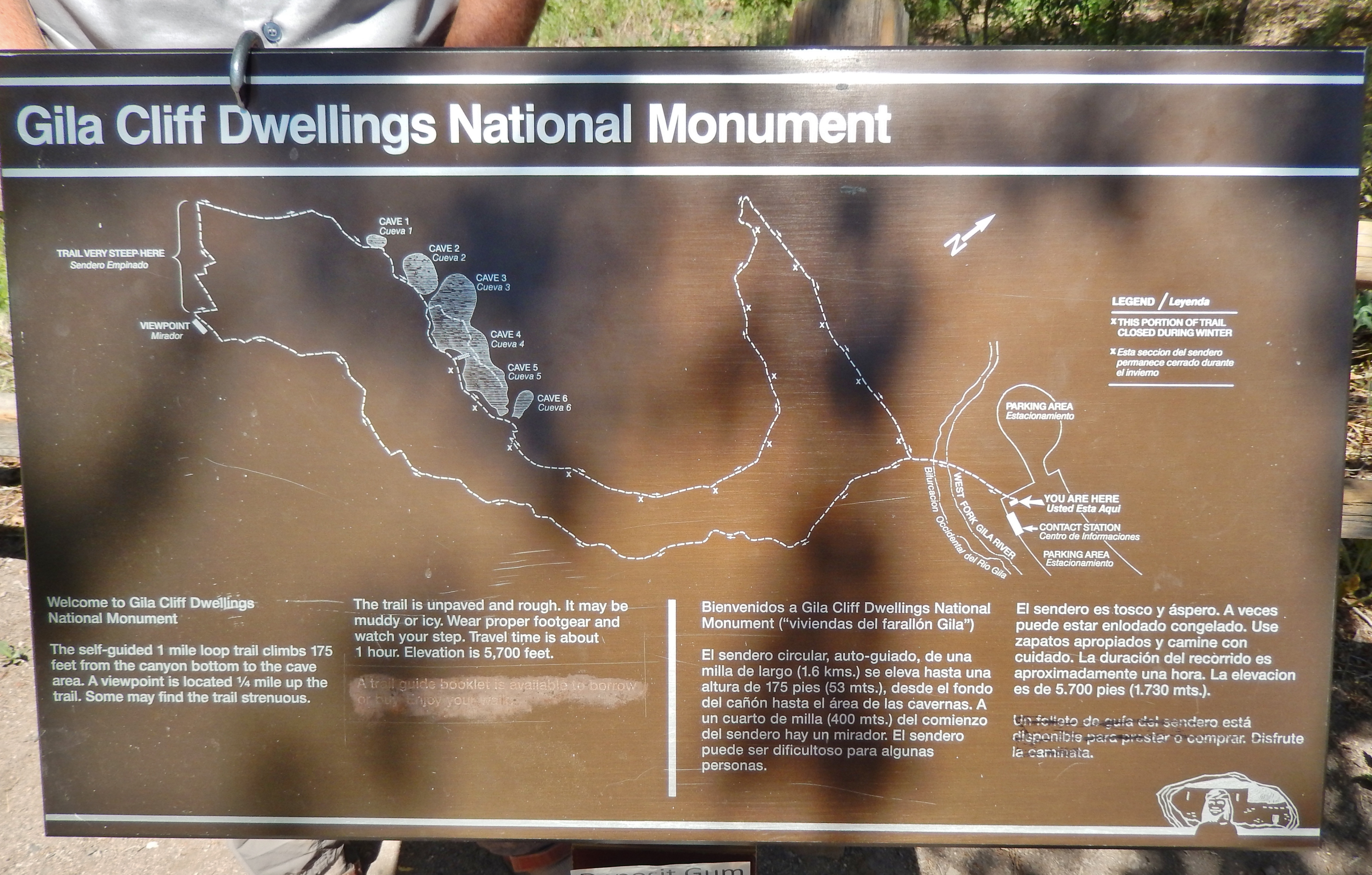
Gila Cliff Dwellings National Monument Trail Map | Additional Description:
(located near marker)Welcome to Gila Cliff Dwellings National Monument.
The self-guided 1 mile loop trail climbs 175 feet from the canyon bottom to the cave area. A viewpoint is located 1/4 mile up the trail. Some may find the trail strenuous.
The trail is unpaved and rough. It may be muddy or icy. Wear proper footgear and watch your step. Travel time is about 1 hour. Elevation is 5,700 feet.
Submitted: October 13, 2020, by Cosmos Mariner of Cape Canaveral, Florida.
Database Locator Identification Number: p543563
File Size: 4.400 Megabytes
To see the metadata that may be embedded in this photo, sign in and then return to this page.