Photograph as originally submitted to
this page in the Historical Marker Database
www.HMdb.org.
Click on photo to resize in browser. Scroll down to see metadata.
Photographer: Craig Swain
Taken: July 21, 2007
Caption:
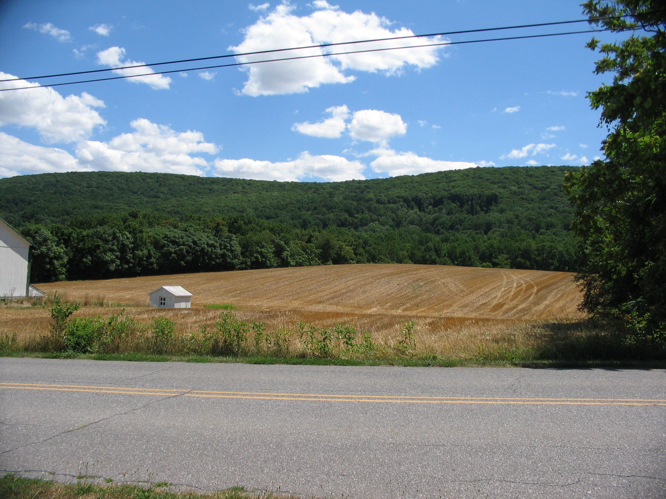
Brownsville Gap | Additional Description: Seen from Pleasant Valley on the west side of South Mountain. Wartime roads lead through the pass, but today the best way to reach the area is walking along the Appalachian Trail.
Submitted: August 8, 2007, by Craig Swain of Leesburg, Virginia.
Database Locator Identification Number: p5698
File Size: 1.340 Megabytes
To see the metadata that may be embedded in this photo, sign in and then return to this page.