Photograph as originally submitted to
this page in the Historical Marker Database
www.HMdb.org.
Click on photo to resize in browser. Scroll down to see metadata.
Photographer: Barry Swackhamer
Taken: September 16, 2020
Caption:
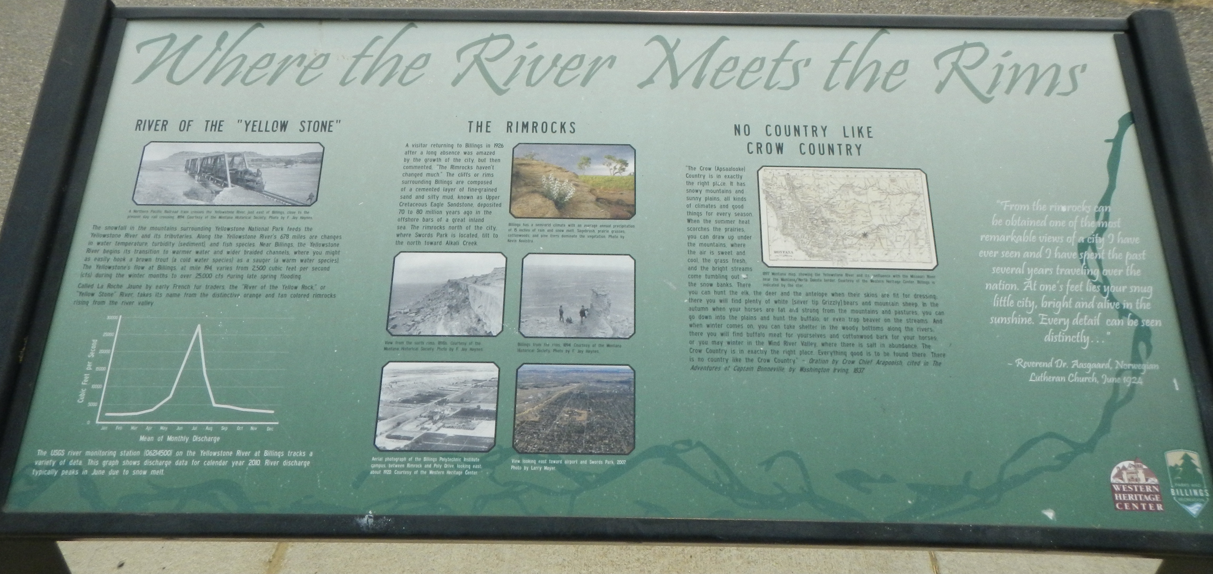
Where the River Meets the Rims Marker | Additional Description: Captions: (upper left) A Northern Pacific Railroad train crosses the Yellowstone River just east of Billings close to the present day rail crossing.; (lower left) The USGS river monitoring station (06214500) on the Yellowstone River at Billings tracks a variety of data. This graph shows discharge data for calendar year2010. River discharge typically peaks in June due to snow melt.; (5 images at center, top to bottom, left to right) View from the north rims., Aerial photograph of the Billings Polytechnic Institute campus between Rimrock and Poly Drive looking east, About 1920, Billings has a semiarid climate with an average annual precipitation of 15 inches of rain and snow melt. Sagebrush. prairie grasses, cottonwoods, and pine trees dominate the vegetation., Billings from the rims, 1894., View looking toward airport and Swords Park, 2007.; (upper right) 1897 Montana map, showing the Yellowstone River and its confluence with the Missouri River near the Montana/North Dakota border. Billings is indicated by the star.
Submitted: March 3, 2021, by Barry Swackhamer of Brentwood, California.
Database Locator Identification Number: p571439
File Size: 2.173 Megabytes
To see the metadata that may be embedded in this photo, sign in and then return to this page.
