Photograph as originally submitted to
this page in the Historical Marker Database
www.HMdb.org.
Click on photo to resize in browser. Scroll down to see metadata.
Photographer: Allen C. Browne
Taken: October 7, 2012
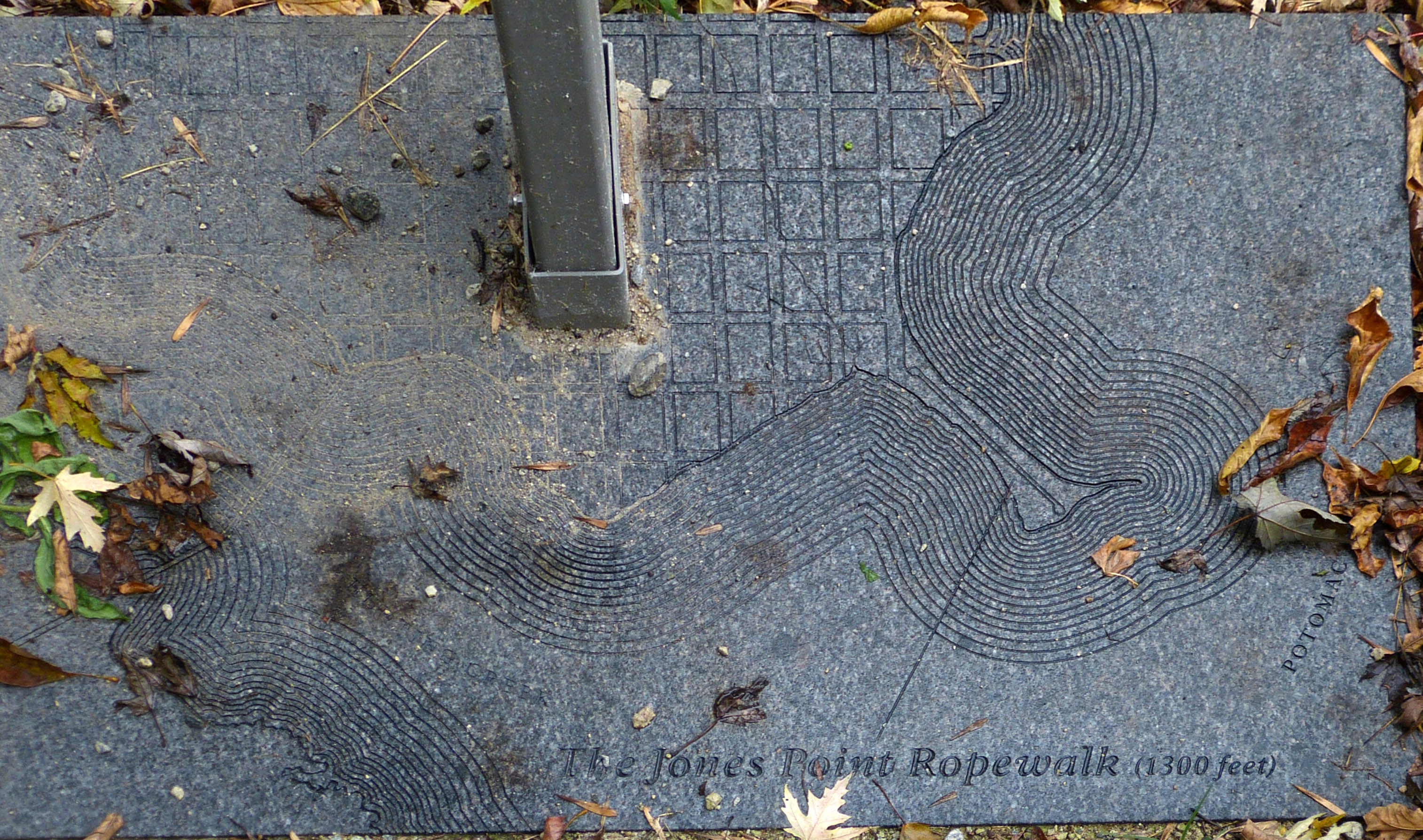
Caption:
The Jones Point Ropewalk (1300 feet) | Additional Description: Map showing the Jones Point Ropewalk, Jones Point and Alexandria, incised into the base on which the marker is mounted.
Submitted: April 15, 2021, by Allen C. Browne of Silver Spring, Maryland.
Database Locator Identification Number: p579750
File Size: 1.582 Megabytes
To see the metadata that may be embedded in this photo, sign in and then return to this page.