Photograph as originally submitted to
this page in the Historical Marker Database
www.HMdb.org.
Click on photo to resize in browser. Scroll down to see metadata.
Photographer: Larry Gertner
Taken: June 17, 2020
Caption:
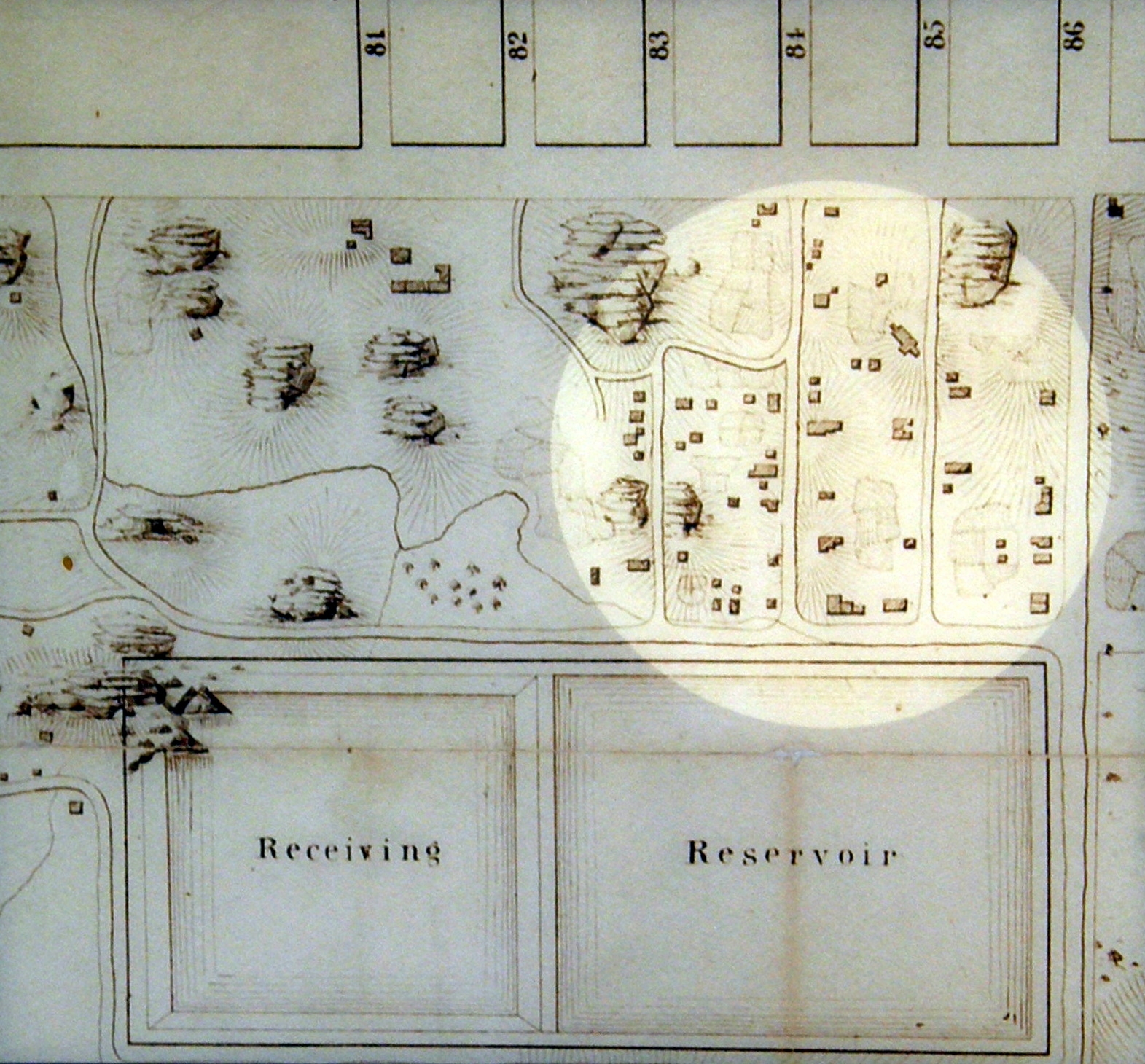
Inset | Additional Description: “This map of Seneca Village, prepared by engineer Egbert Viele in 1855 as part of the survey of the land slated for Central Park, shows the cluster of houses, churches, and gardens that made up the community.”
Submitted: April 16, 2021, by Larry Gertner of New York, New York.
Database Locator Identification Number: p579917
File Size: 0.787 Megabytes
To see the metadata that may be embedded in this photo, sign in and then return to this page.