Photograph as originally submitted to
this page in the Historical Marker Database
www.HMdb.org.
Click on photo to resize in browser. Scroll down to see metadata.
Photographer: via Wikipedia
Taken: unknown
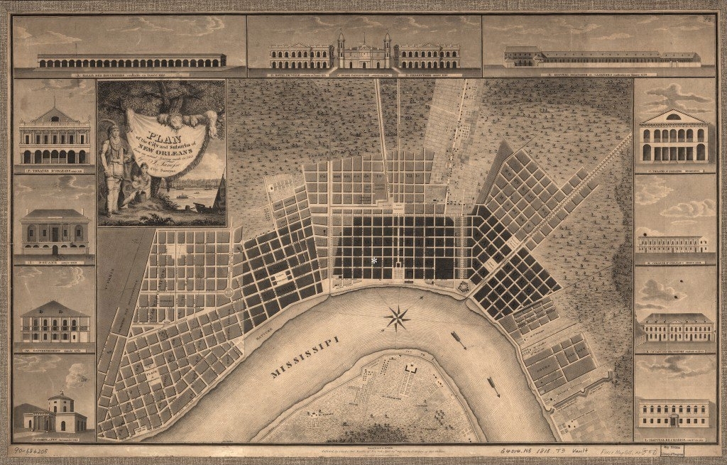
Caption:
"Plan of the city and suburbs of New Orleans from an 1815 survey" | Additional Description: The site is just west of Jackson Square.
Submitted: April 16, 2021, by Larry Gertner of New York, New York.
Database Locator Identification Number: p579921
File Size: 0.244 Megabytes
To see the metadata that may be embedded in this photo, sign in and then return to this page.