Photograph as originally submitted to
this page in the Historical Marker Database
www.HMdb.org.
Click on photo to resize in browser. Scroll down to see metadata.
Photographer: Craig Swain
Taken: July 21, 2007
Caption:
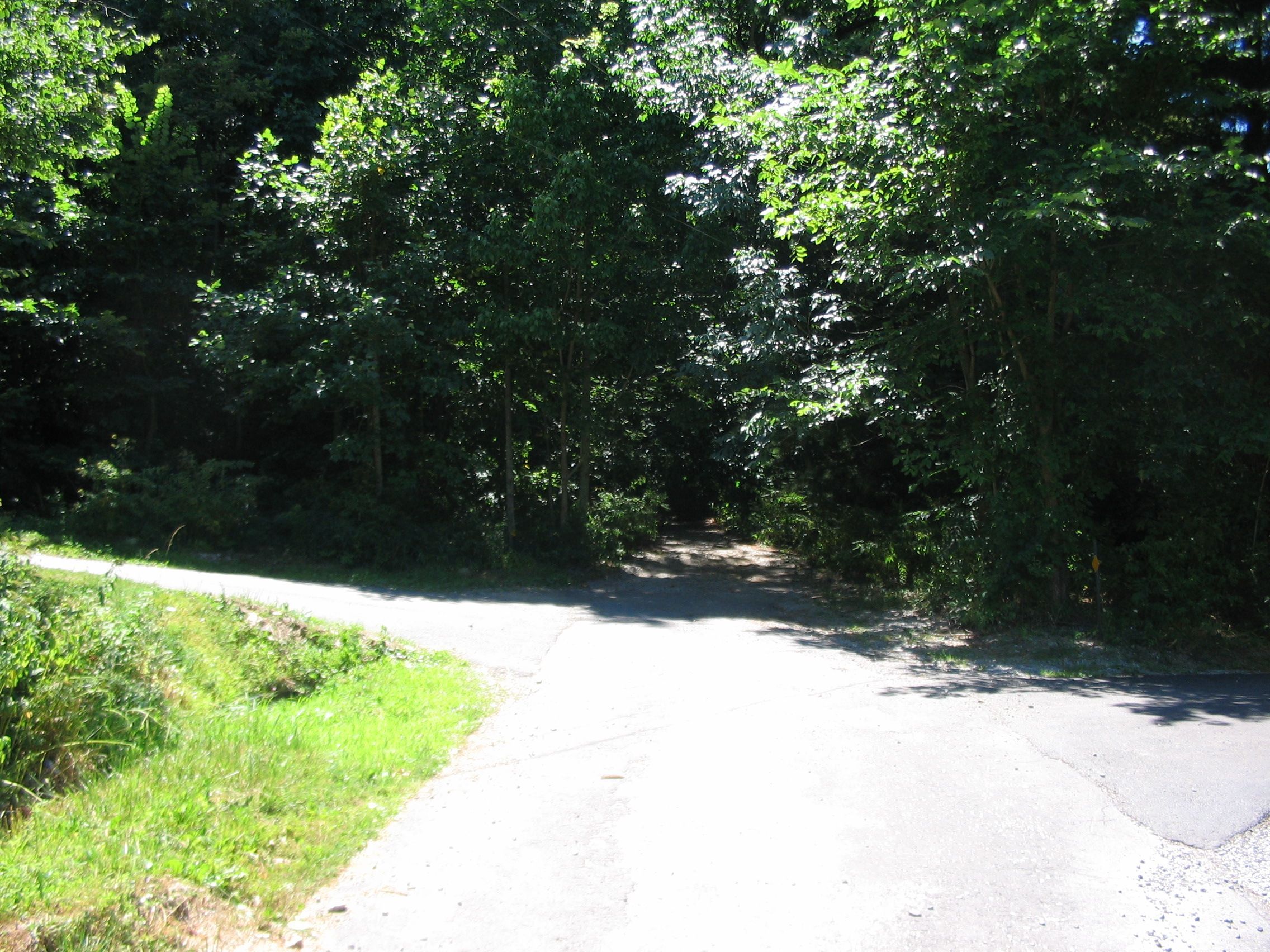
Brownsville Pass Road | Additional Description: The present day road dead ends near the edge of South Mountain State Park. The old road bed trace does pass over the mountain, intersecting the Appalachian Trail along the mountain crest. The best way to see Brownsville Pass today is via the Appalachian Trail, avoiding the rather steep hike up Brownsville Pass.
Submitted: August 13, 2007, by Craig Swain of Leesburg, Virginia.
Database Locator Identification Number: p5828
File Size: 1.386 Megabytes
To see the metadata that may be embedded in this photo, sign in and then return to this page.