Photograph as originally submitted to
this page in the Historical Marker Database
www.HMdb.org.
Click on photo to resize in browser. Scroll down to see metadata.
Photographer: Shane Oliver
Taken: March 6, 2021
Caption:
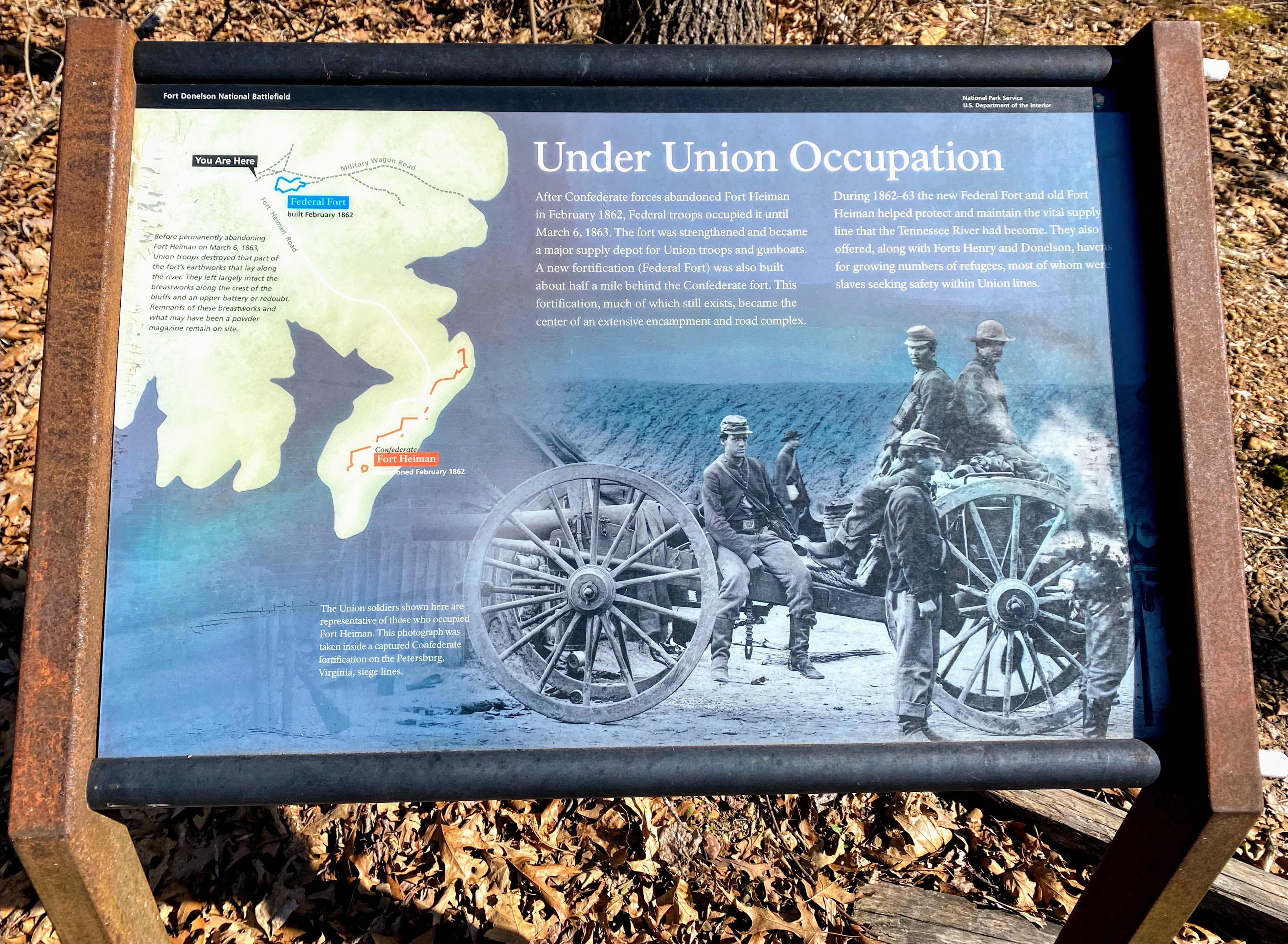
Under Union Occupation Marker | Additional Description: The Military Wagon Road map on the marker represents a Civil War-era road network which no longer exists. This map should NOT be used as a trail map.
Submitted: May 10, 2021, by Shane Oliver of Richmond, Virginia.
Database Locator Identification Number: p585003
File Size: 2.278 Megabytes
To see the metadata that may be embedded in this photo, sign in and then return to this page.