Photograph as originally submitted to
this page in the Historical Marker Database
www.HMdb.org.
Click on photo to resize in browser. Scroll down to see metadata.
Photographer: Top: Anonymous. Bottom: Compass courtesy of Oakland County Pioneer and Historical Society.
Caption:
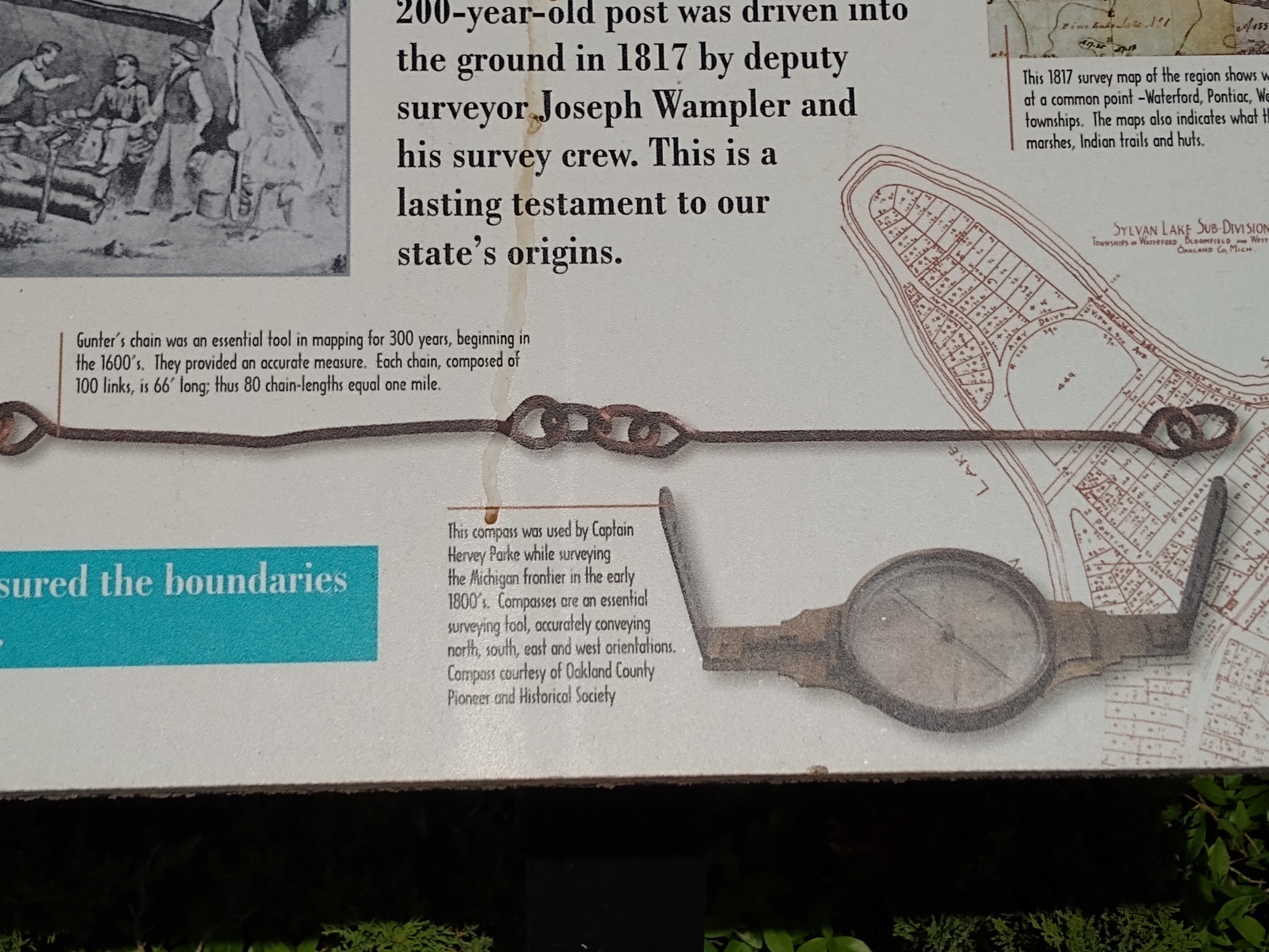
"X" Marks the Spot: A Tale of Four Townships Marker — lower middle images | Additional Description: Top: Gunter's chain was an essential tool in mapping for 300 years, beginning in the 1600's. They provided an accurate measure. Each chain, composed of 100 links, is 66' long; thus 80 chain-lengths equal one mile.
Bottom: This compass was used by Captain Hervey Parke while surveying the Michigan frontier in the early 1800's. Compasses are an essential surveying tool, accurately conveying north, south, east and west orientations.
Submitted: May 22, 2021, by Joel Seewald of Madison Heights, Michigan.
Database Locator Identification Number: p587056
File Size: 2.926 Megabytes
To see the metadata that may be embedded in this photo, sign in and then return to this page.