Photograph as originally submitted to
this page in the Historical Marker Database
www.HMdb.org.
Click on photo to resize in browser. Scroll down to see metadata.
Photographer: Craig Swain
Taken: March 17, 2009
Caption:
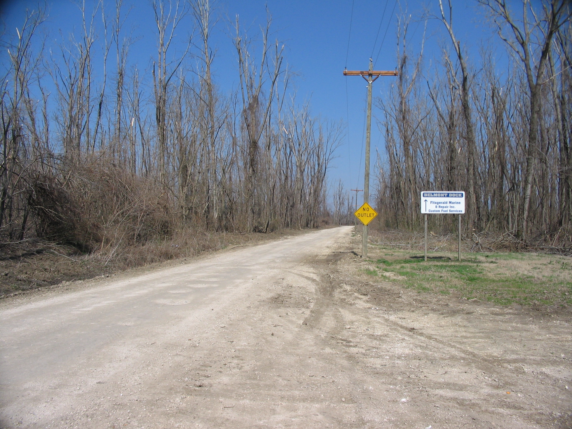
Grant's Landing | Additional Description: Looking north from the parking area. Grant's initial landing, and the site of the evacuation, was roughly two miles north of Belmont at Hunter's Point. Today the river has changed course, leaving a dead river bend and Island No. 4 on the western shore (thus part of Kentucky on the Missouri side of the river). The site of Hunter's Point is on private property, beyond the end of this service road.
Submitted: April 8, 2009, by Craig Swain of Leesburg, Virginia.
Database Locator Identification Number: p58709
File Size: 1.500 Megabytes
To see the metadata that may be embedded in this photo, sign in and then return to this page.