Photograph as originally submitted to
this page in the Historical Marker Database
www.HMdb.org.
Click on photo to resize in browser. Scroll down to see metadata.
Photographer: Dale K. Benington
Taken: August 6, 2008
Caption:
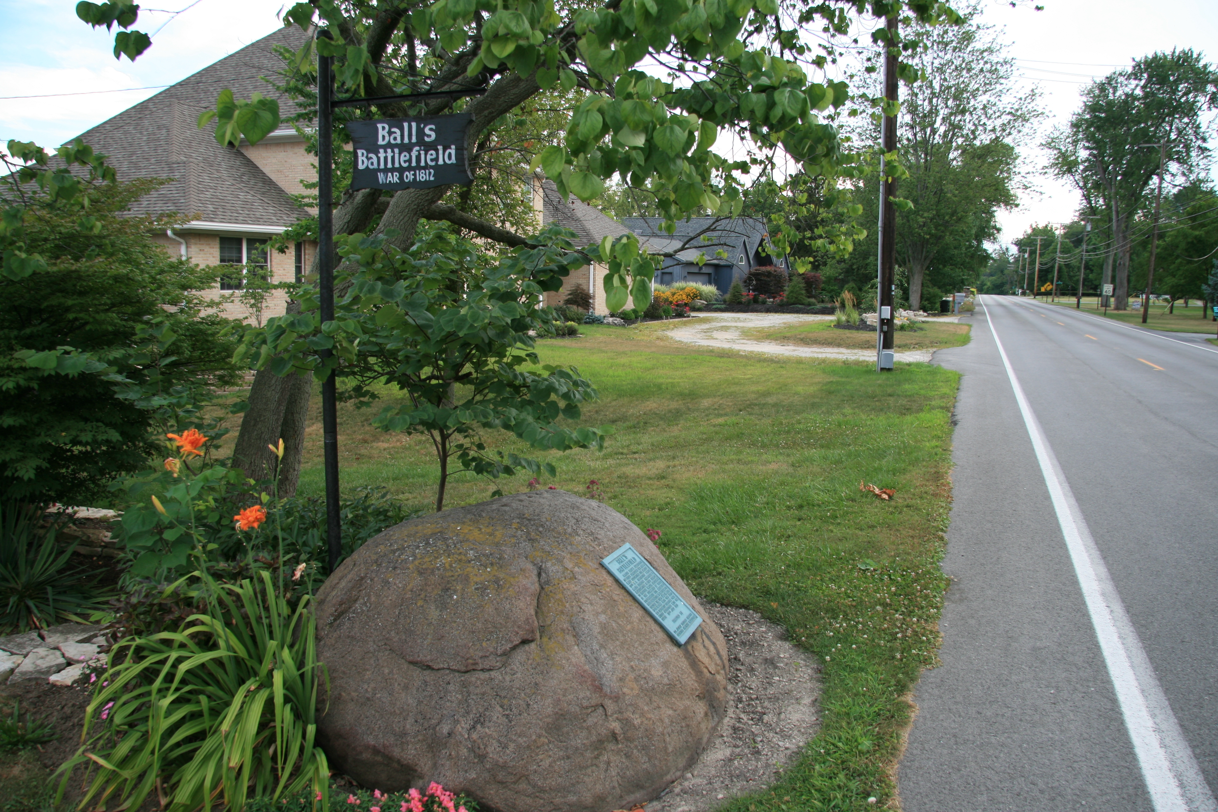
Ball's Battlefield Marker | Additional Description: View of Ball's Battlefield Marker along the east side of Buckland Ave. This road used to be part of the "Harrison Road" during the War of 1812, and prior to that was part of the Sandusky-Scioto Trail.
Submitted: April 15, 2009, by Dale K. Benington of Toledo, Ohio.
Database Locator Identification Number: p59478
File Size: 5.455 Megabytes
To see the metadata that may be embedded in this photo, sign in and then return to this page.