Photograph as originally submitted to
this page in the Historical Marker Database
www.HMdb.org.
Click on photo to resize in browser. Scroll down to see metadata.
Photographer: Bill Coughlin
Taken: April 14, 2009
Caption:
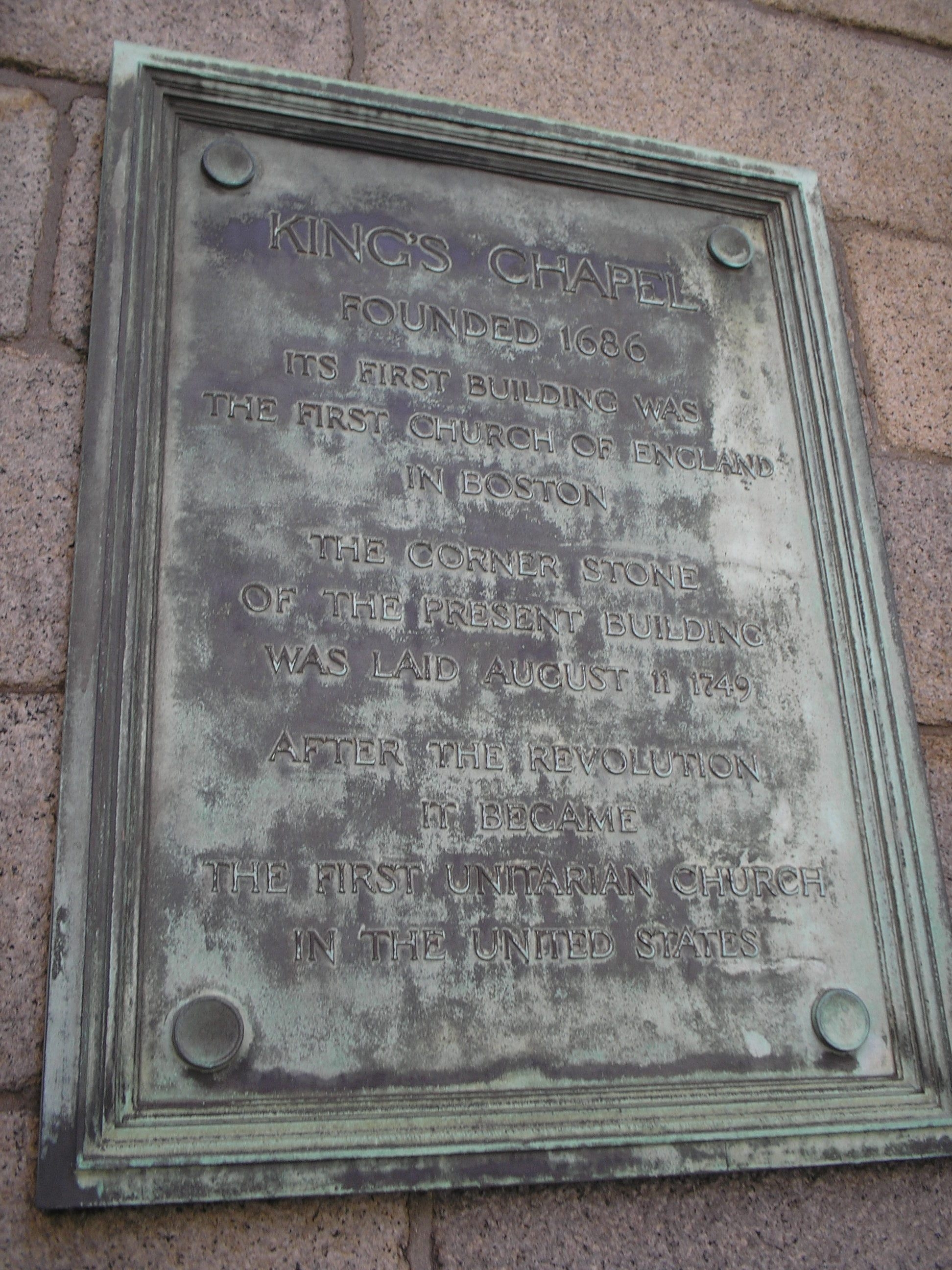
King’s Chapel Marker | Additional Description: King's Chapel and Burying Ground is located along the route of Boston's Freedom Trail.
Submitted: April 19, 2009, by Bill Coughlin of Woodland Park, New Jersey.
Database Locator Identification Number: p60005
File Size: 0.865 Megabytes
To see the metadata that may be embedded in this photo, sign in and then return to this page.