Photograph as originally submitted to
this page in the Historical Marker Database
www.HMdb.org.
Click on photo to resize in browser. Scroll down to see metadata.
Photographer: Bernard Fisher
Taken: April 18, 2009
Caption:
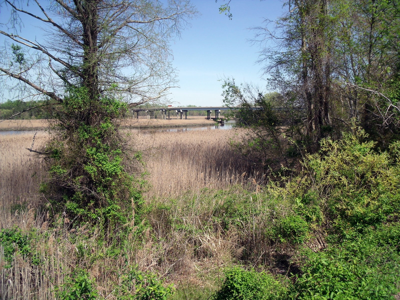
Nansemond River (1.5 miles east of marker) | Additional Description: View downstream towards the site of Union Fort Connecticut.
Submitted: April 21, 2009, by Bernard Fisher of Richmond, Virginia.
Database Locator Identification Number: p60302
File Size: 0.928 Megabytes
To see the metadata that may be embedded in this photo, sign in and then return to this page.