Photograph as originally submitted to
this page in the Historical Marker Database
www.HMdb.org.
Click on photo to resize in browser. Scroll down to see metadata.
Photographer: Craig Swain
Taken: March 19, 2009
Caption:
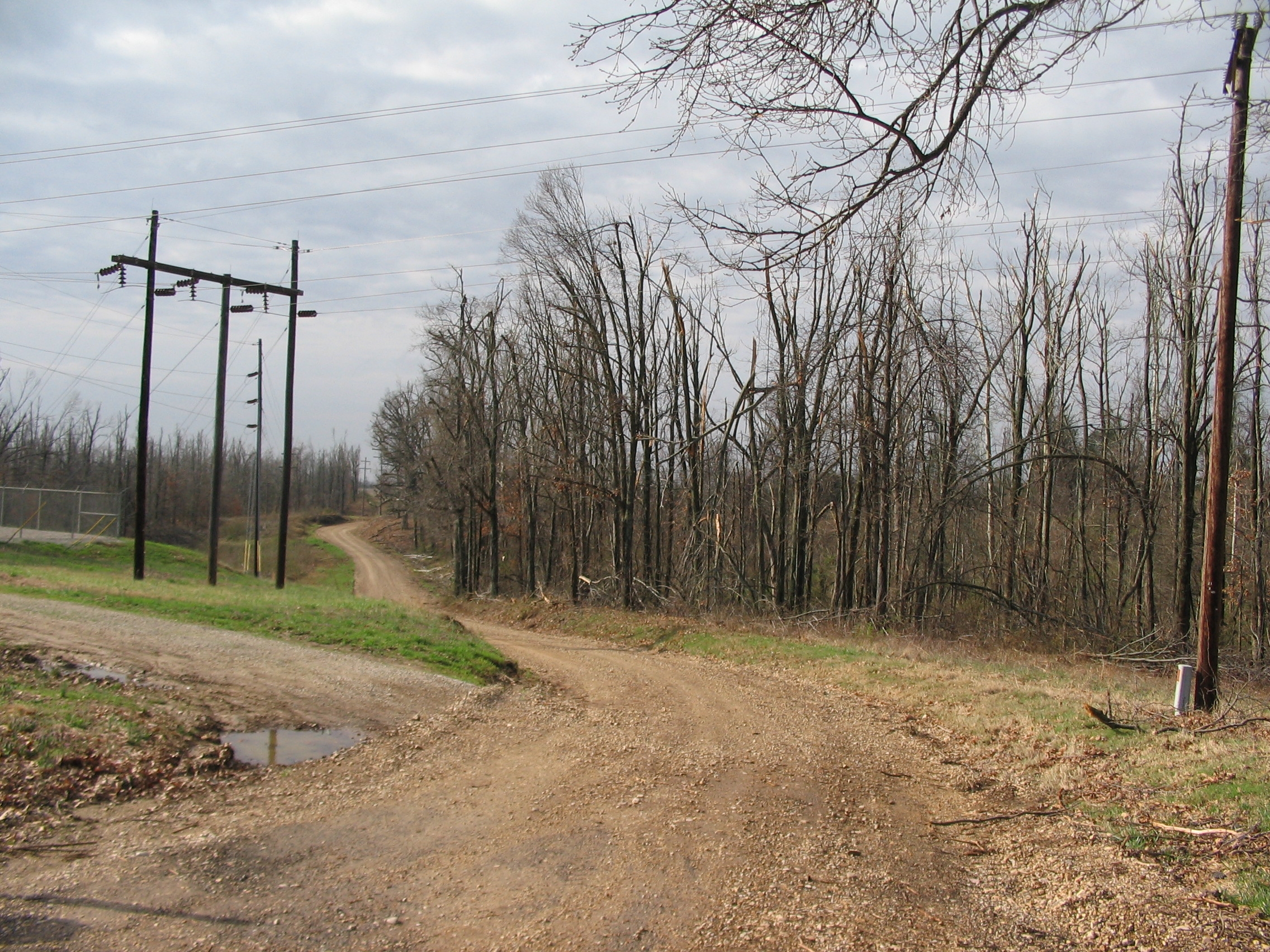
Four Mile | Additional Description: Located, as the name implies, four miles east of Chalk Bluff where Missouri Highway 53 crosses over Crowley's Ridge, is the site of the village of Four Mile. A gravel road passes along the top of Crowley's Ridge here, and is approximately along the same course taken by the military road at the time of the battle. A nearby cemetery and at least one house nearby date to the time of the battle.
Submitted: April 21, 2009, by Craig Swain of Leesburg, Virginia.
Database Locator Identification Number: p60351
File Size: 1.623 Megabytes
To see the metadata that may be embedded in this photo, sign in and then return to this page.