Photograph as originally submitted to
this page in the Historical Marker Database
www.HMdb.org.
Click on photo to resize in browser. Scroll down to see metadata.
Photographer: Craig Swain
Taken: August 17, 2007
Caption:
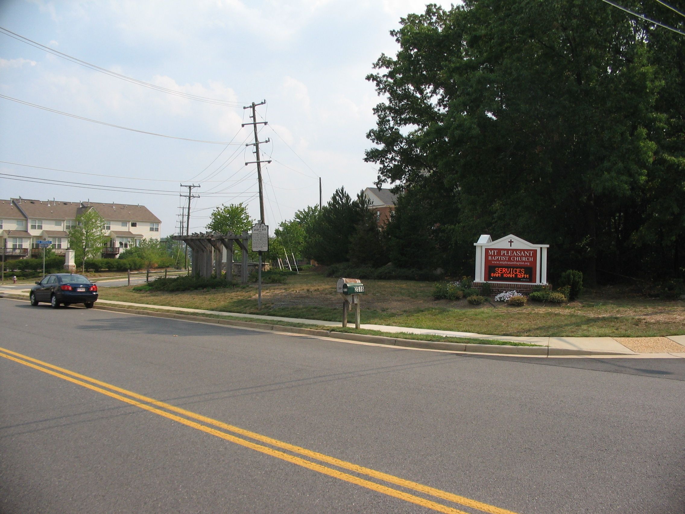
The Meeting Place with the Marker Beside the Road | Additional Description: The stand of trees to the right of the picture was the general location of the rock. Just to the north of Frying Pan Creek, and conveniently in a quiet corner close to several of the historic roads, the site was a perfect meeting spot for Mosby's clandestine operations.
Submitted: August 24, 2007, by Craig Swain of Leesburg, Virginia.
Database Locator Identification Number: p6101
File Size: 1.100 Megabytes
To see the metadata that may be embedded in this photo, sign in and then return to this page.