Photograph as originally submitted to
this page in the Historical Marker Database
www.HMdb.org.
Click on photo to resize in browser. Scroll down to see metadata.
Photographer: Craig Swain
Taken: April 25, 2009
Caption:
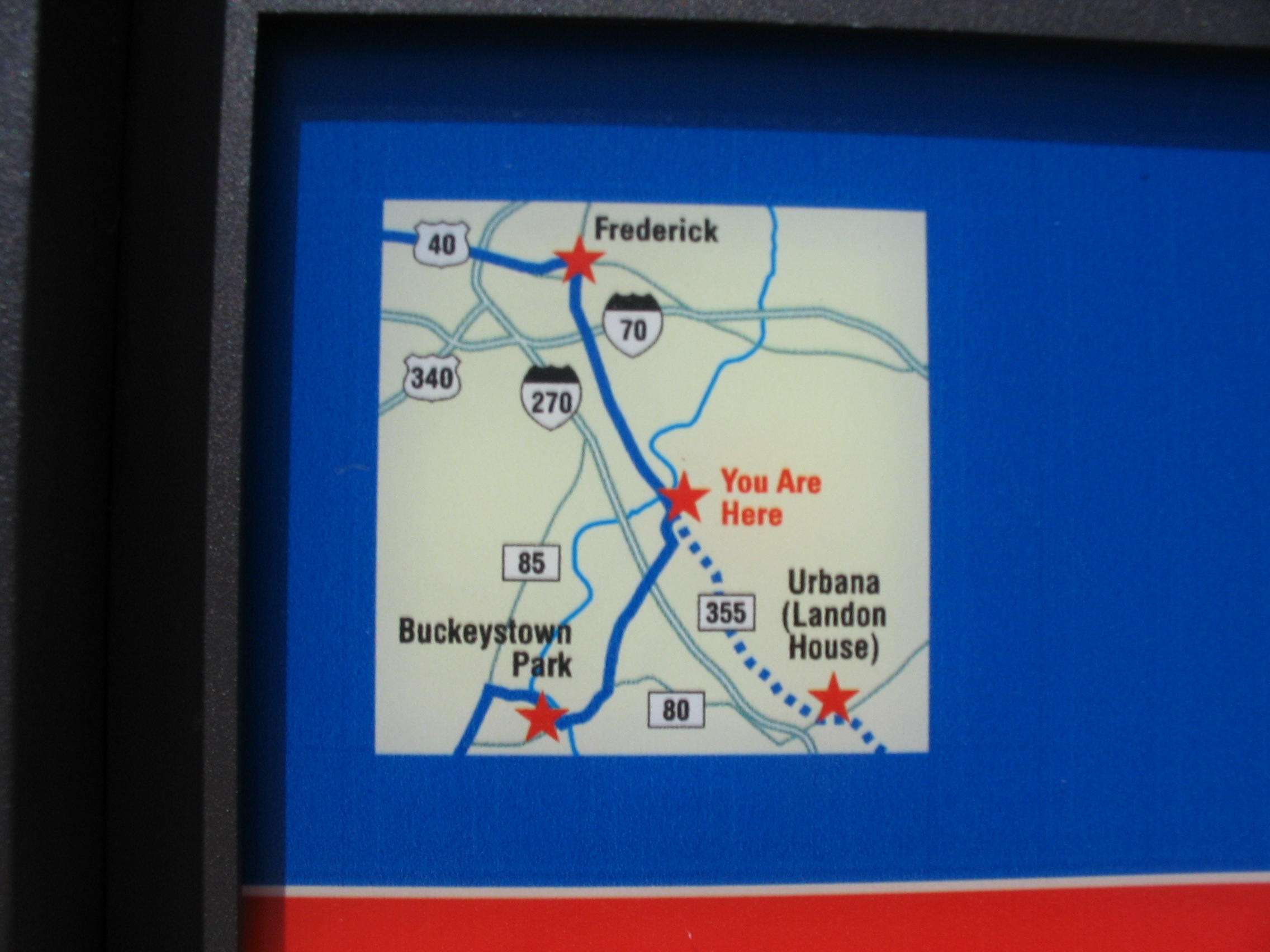
"Wing" Map on the Marker | Additional Description: The map shows locations of nearby Civil War Trails sites.
Submitted: April 27, 2009, by Craig Swain of Leesburg, Virginia.
Database Locator Identification Number: p61051
File Size: 0.724 Megabytes
To see the metadata that may be embedded in this photo, sign in and then return to this page.