Photograph as originally submitted to
this page in the Historical Marker Database
www.HMdb.org.
Click on photo to resize in browser. Scroll down to see metadata.
Photographer: Dale K. Benington
Taken: June 17, 2008
Caption:
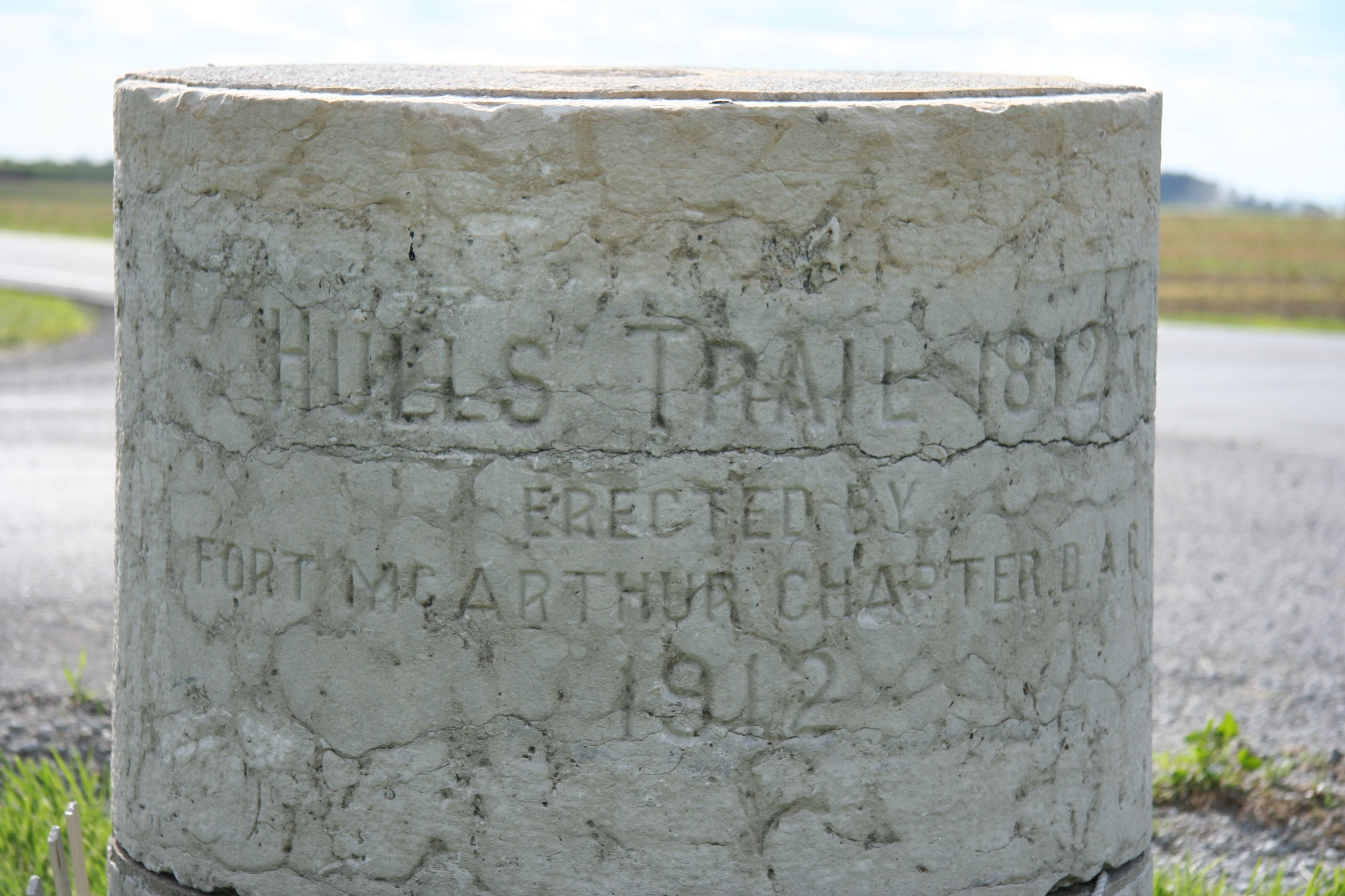
Hull’s Trail Marker | Additional Description: This Hull's Trail marker is located at the intersection of State Route 701 and County Road 135, at map location 40.43.913N by 083.39.169W.
Submitted: April 30, 2009, by Dale K. Benington of Toledo, Ohio.
Database Locator Identification Number: p61417
File Size: 3.314 Megabytes
To see the metadata that may be embedded in this photo, sign in and then return to this page.