Photograph as originally submitted to
this page in the Historical Marker Database
www.HMdb.org.
Click on photo to resize in browser. Scroll down to see metadata.
Caption:
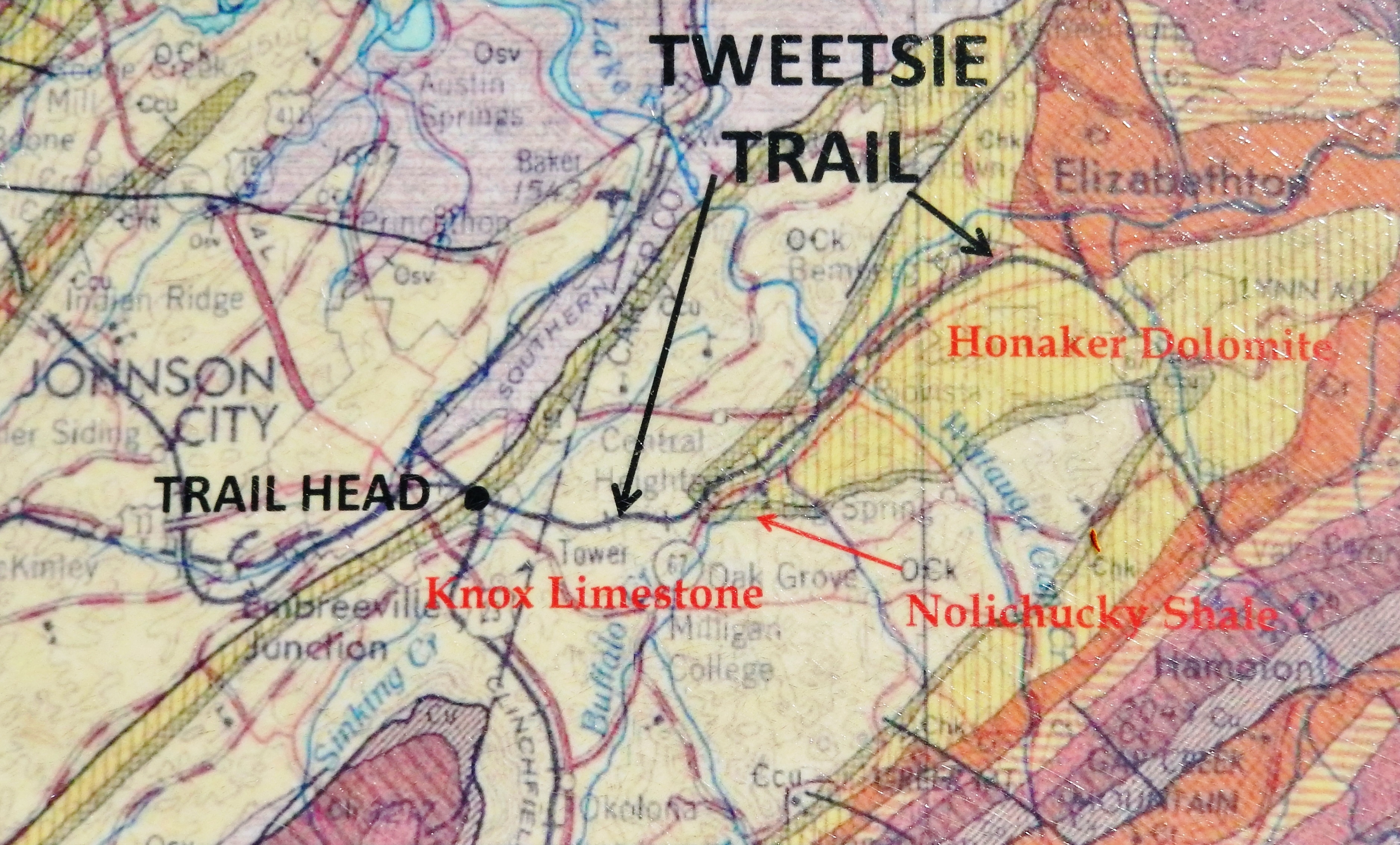
Marker detail: Geologic Map of the Tweetsie Trail and Surrounding Region | Submitted: October 17, 2021, by Cosmos Mariner of Cape Canaveral, Florida.
Database Locator Identification Number: p616517
File Size: 3.328 Megabytes
To see the metadata that may be embedded in this photo, sign in and then return to this page.