Photograph as originally submitted to
this page in the Historical Marker Database
www.HMdb.org.
Click on photo to resize in browser. Scroll down to see metadata.
Photographer: Bernard Fisher
Taken: May 2, 2009
Caption:
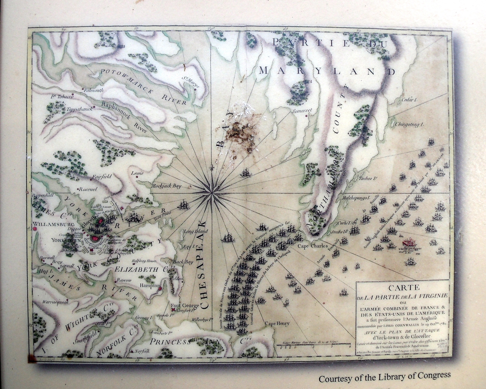
Map of Chesapeake Bay. | Additional Description: The September 5, 1781, “Battle of the Capes” between British and French fleets ended in a draw but the French sealed off the Chesapeake Bay. The British ships returned to New York and their army was soon surrounded at Yorktown.
Courtesy of the Library of CongressSubmitted: May 7, 2009, by Bernard Fisher of Richmond, Virginia.
Database Locator Identification Number: p62260
File Size: 1.440 Megabytes
To see the metadata that may be embedded in this photo, sign in and then return to this page.