Photograph as originally submitted to
this page in the Historical Marker Database
www.HMdb.org.
Click on photo to resize in browser. Scroll down to see metadata.
Taken: April 26, 2009
Caption:
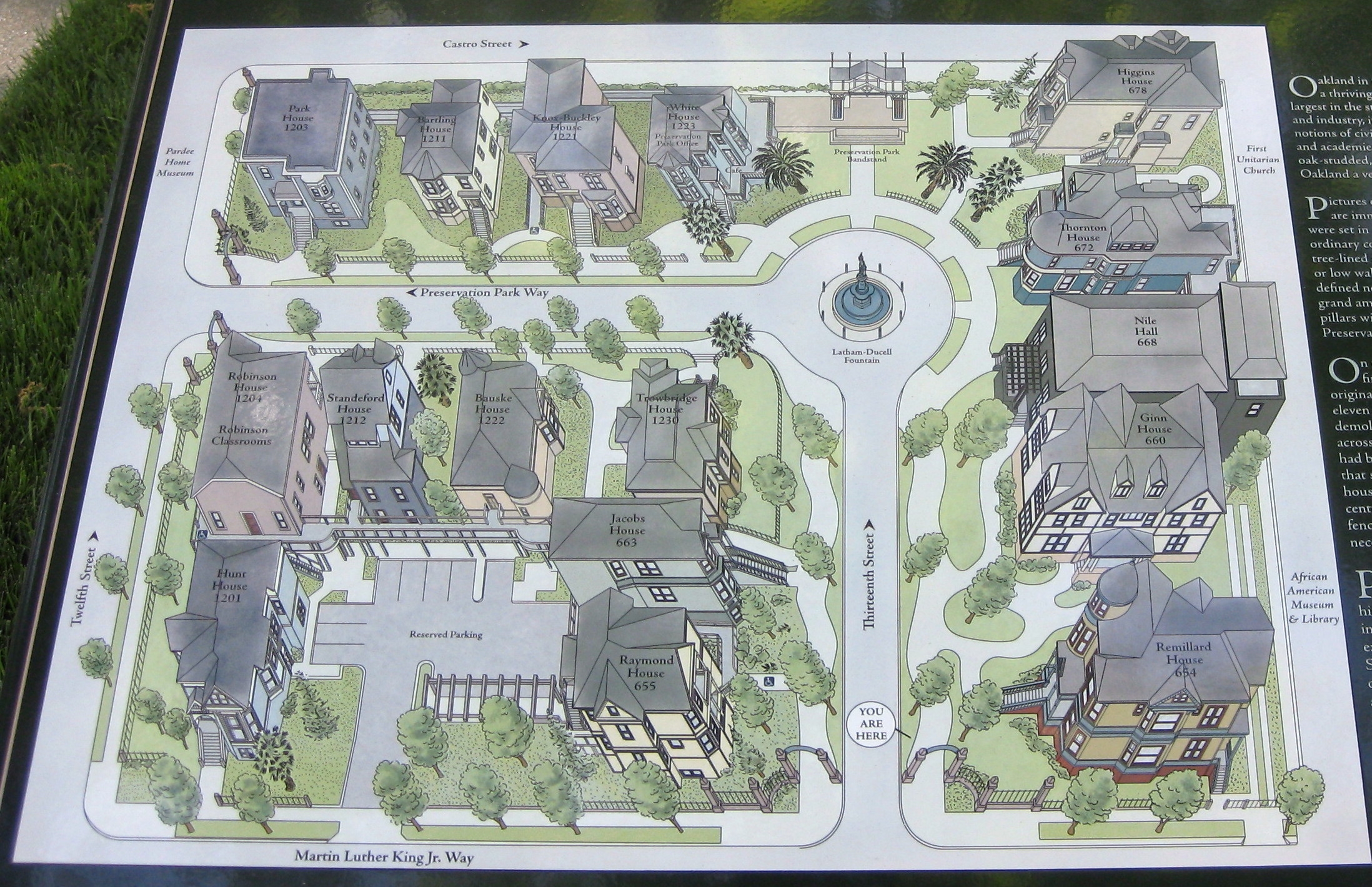
Preservation Park Map | Additional Description: The map provides a physical overview of Preservation Park. The pictures following this will present the houses of Preservation Park, following along Thirteenth Street, and then Preservation Park Way, looping back onto Thirteenth Street, and then finally out onto Martin Luther King Jr. Way.
Submitted: May 9, 2009, by Andrew Ruppenstein of Lamorinda, California.
Database Locator Identification Number: p62524
File Size: 1.057 Megabytes
To see the metadata that may be embedded in this photo, sign in and then return to this page.