Photograph as originally submitted to
this page in the Historical Marker Database
www.HMdb.org.
Click on photo to resize in browser. Scroll down to see metadata.
Photographer: Andrew Ruppenstein
Taken: December 6, 2021
Caption:
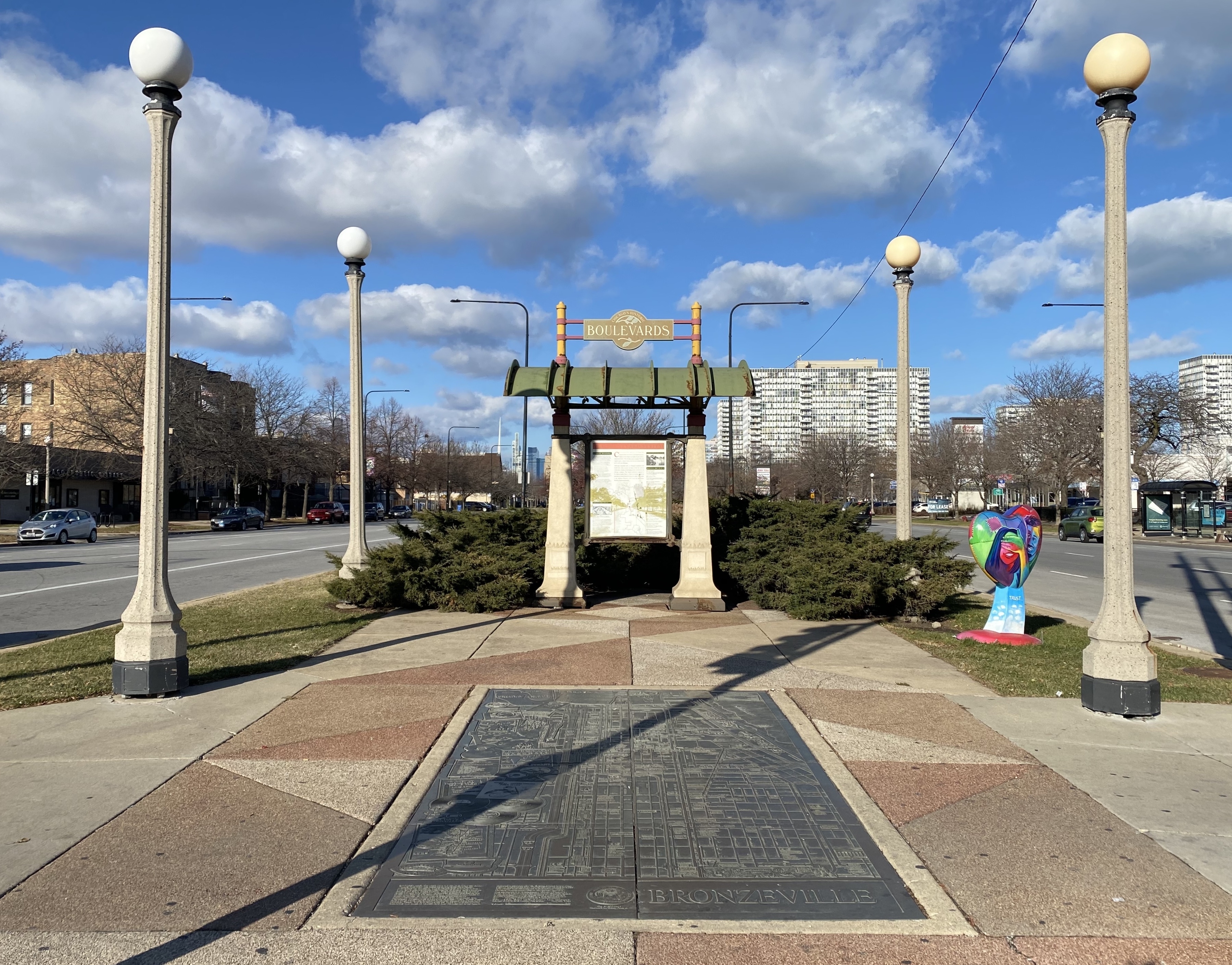
The Boulevard System Marker - wide view, looking north on South Martin Luther King Jr. Drive | Additional Description: The historic Chicago park and boulevard system is a ring of parks connected by wide, planted-median boulevards that winds through the north, west, and south sides of the City of Chicago. The neighborhoods along this historic stretch include, Logan Square, Humboldt Park, Englewood, Back of the Yards, Lawndale, and Bronzeville. It reaches as far west as Garfield Park and turns south east to Douglas Park. In the south, it reaches Washington Park and Jackson Park, including the Midway Plaisance, used for the 1893 World's Fair. -
WikipediaSubmitted: December 30, 2021, by Andrew Ruppenstein of Lamorinda, California.
Database Locator Identification Number: p630815
File Size: 3.404 Megabytes
To see the metadata that may be embedded in this photo, sign in and then return to this page.