Photograph as originally submitted to
this page in the Historical Marker Database
www.HMdb.org.
Click on photo to resize in browser. Scroll down to see metadata.
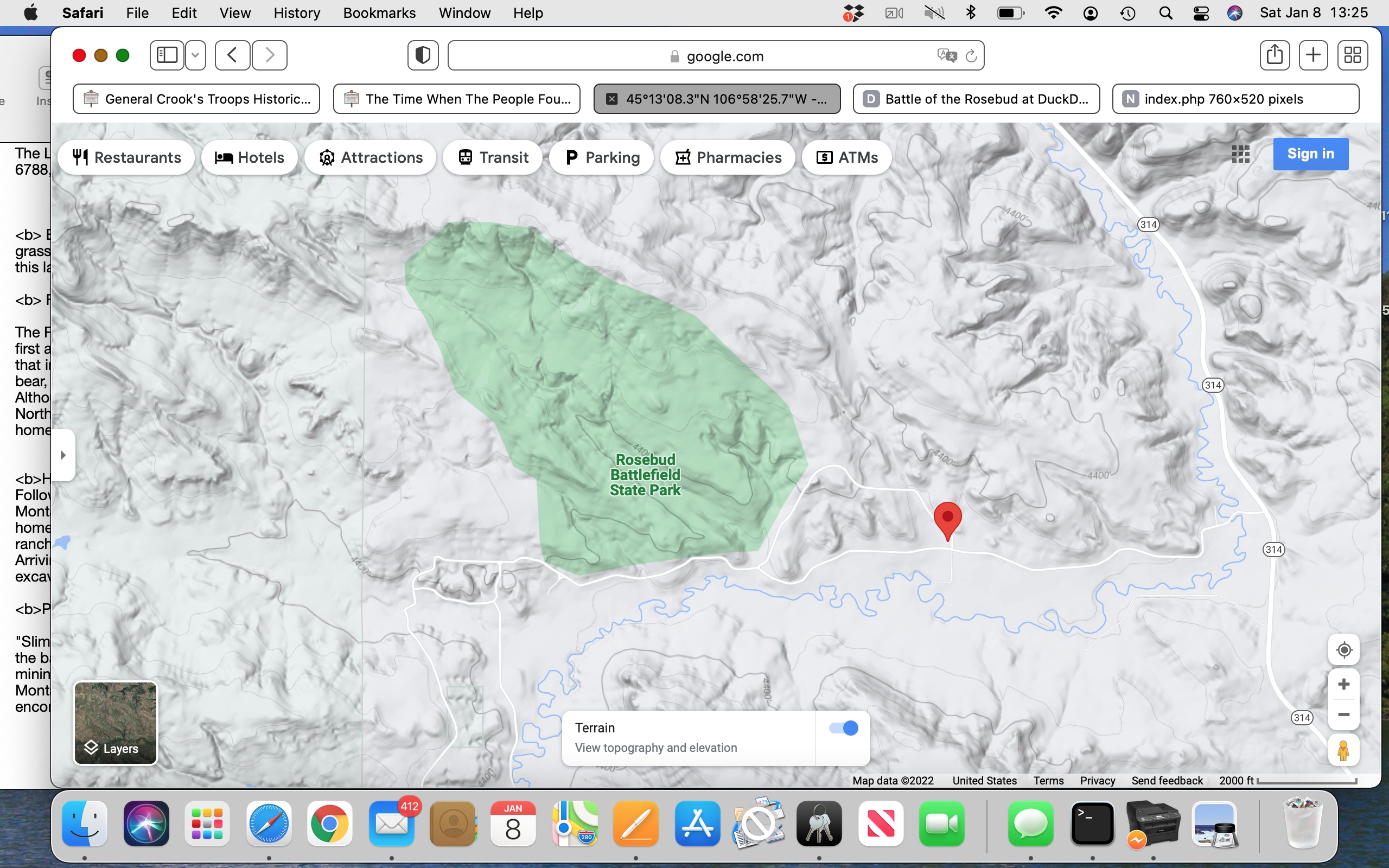
Photographer: Google Maps screenshot
Caption:
Map of the Rosebud State Park area | Additional Description: Pin at marker location
Submitted: January 8, 2022, by Barry Swackhamer of Brentwood, California.
Database Locator Identification Number: p632473
File Size: 3.993 Megabytes
To see the metadata that may be embedded in this photo, sign in and then return to this page.