Photograph as originally submitted to
this page in the Historical Marker Database
www.HMdb.org.
Click on photo to resize in browser. Scroll down to see metadata.
Photographer: Adam Margolis
Taken: March 11, 2022
Caption:
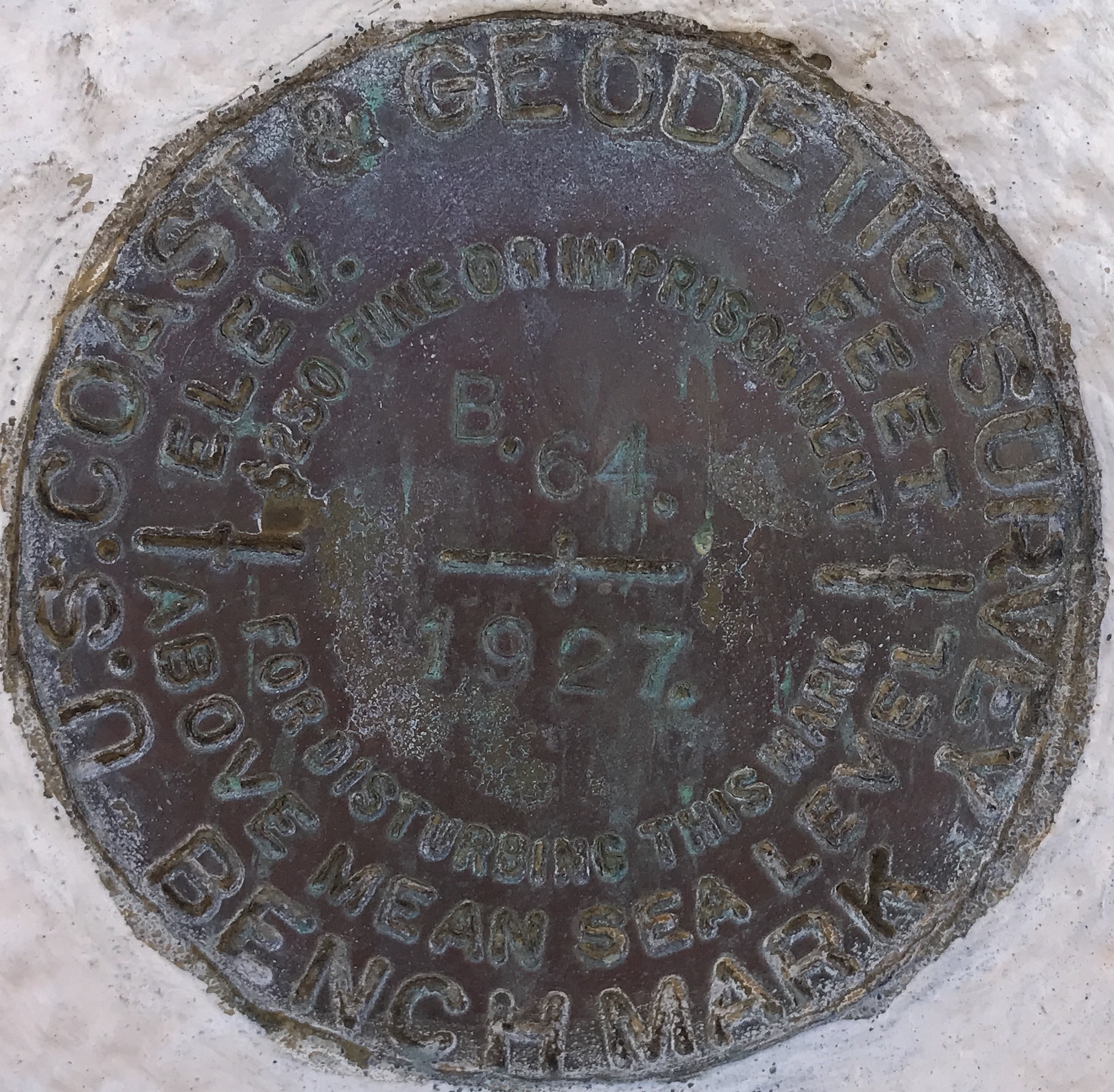
Survey Marker | Additional Description: Close up of the US Coast & Geodetic Survey benchmark located directly below the marker. It was monumented in 1927 and its designation is B24, however, in the National Geodetic Survey database it has the designation of DX1246.
Submitted: April 24, 2022, by Adam Margolis of Mission Viejo, California.
Database Locator Identification Number: p651232
File Size: 1.227 Megabytes
To see the metadata that may be embedded in this photo, sign in and then return to this page.