Photograph as originally submitted to
this page in the Historical Marker Database
www.HMdb.org.
Click on photo to resize in browser. Scroll down to see metadata.
Photographer: Cosmos Mariner
Taken: June 26, 2022
Caption:
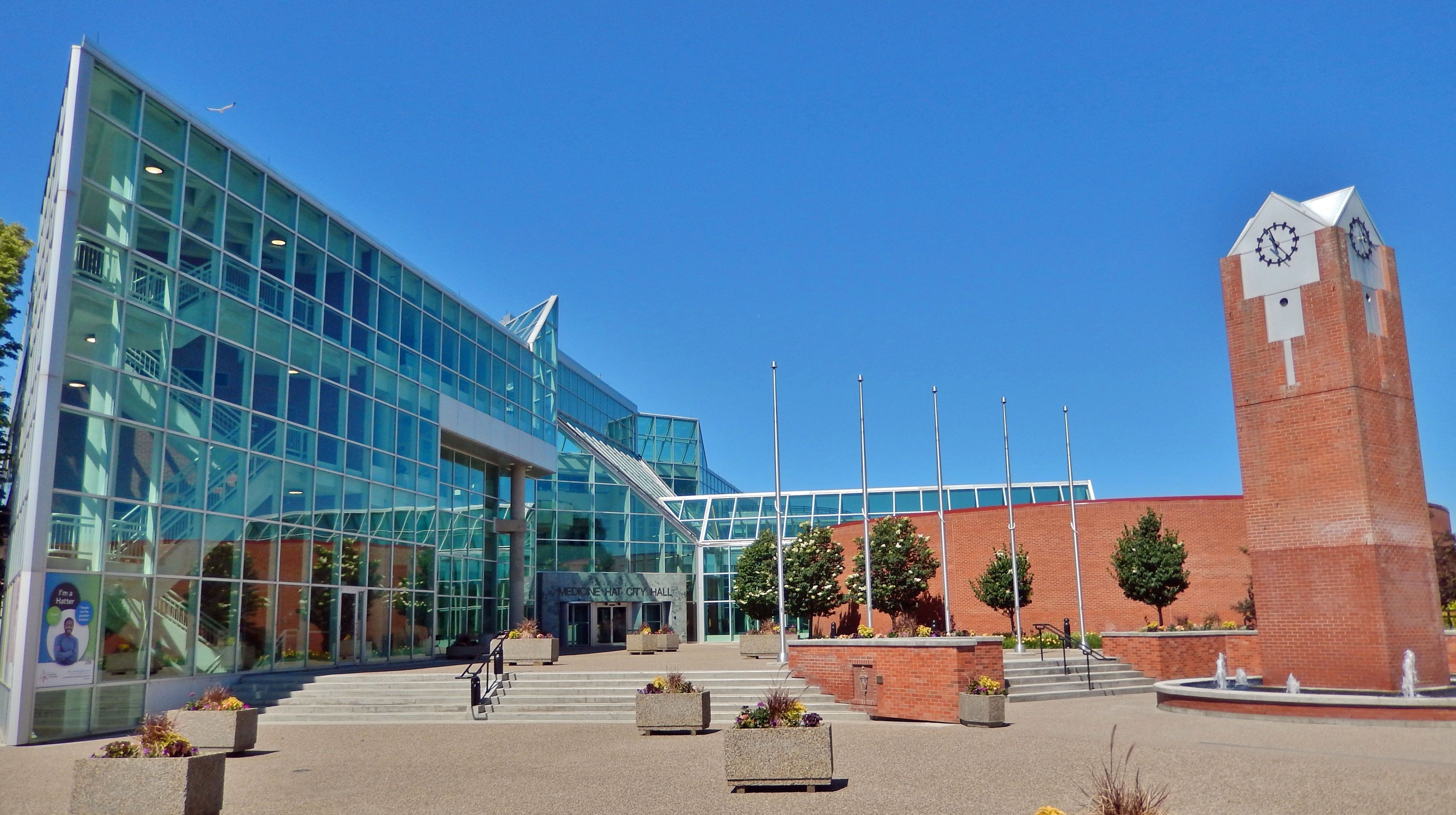
Medicine Hat City Hall (southeast elevation) | Additional Description:
Former site of the A. P. Burns house and Gas City Planing Mill.Submitted: September 24, 2022, by Cosmos Mariner of Cape Canaveral, Florida.
Database Locator Identification Number: p680044
File Size: 1.557 Megabytes
To see the metadata that may be embedded in this photo, sign in and then return to this page.