Photograph as originally submitted to
this page in the Historical Marker Database
www.HMdb.org.
Click on photo to resize in browser. Scroll down to see metadata.
Photographer: Craig Swain
Taken: October 6, 2022
Caption:
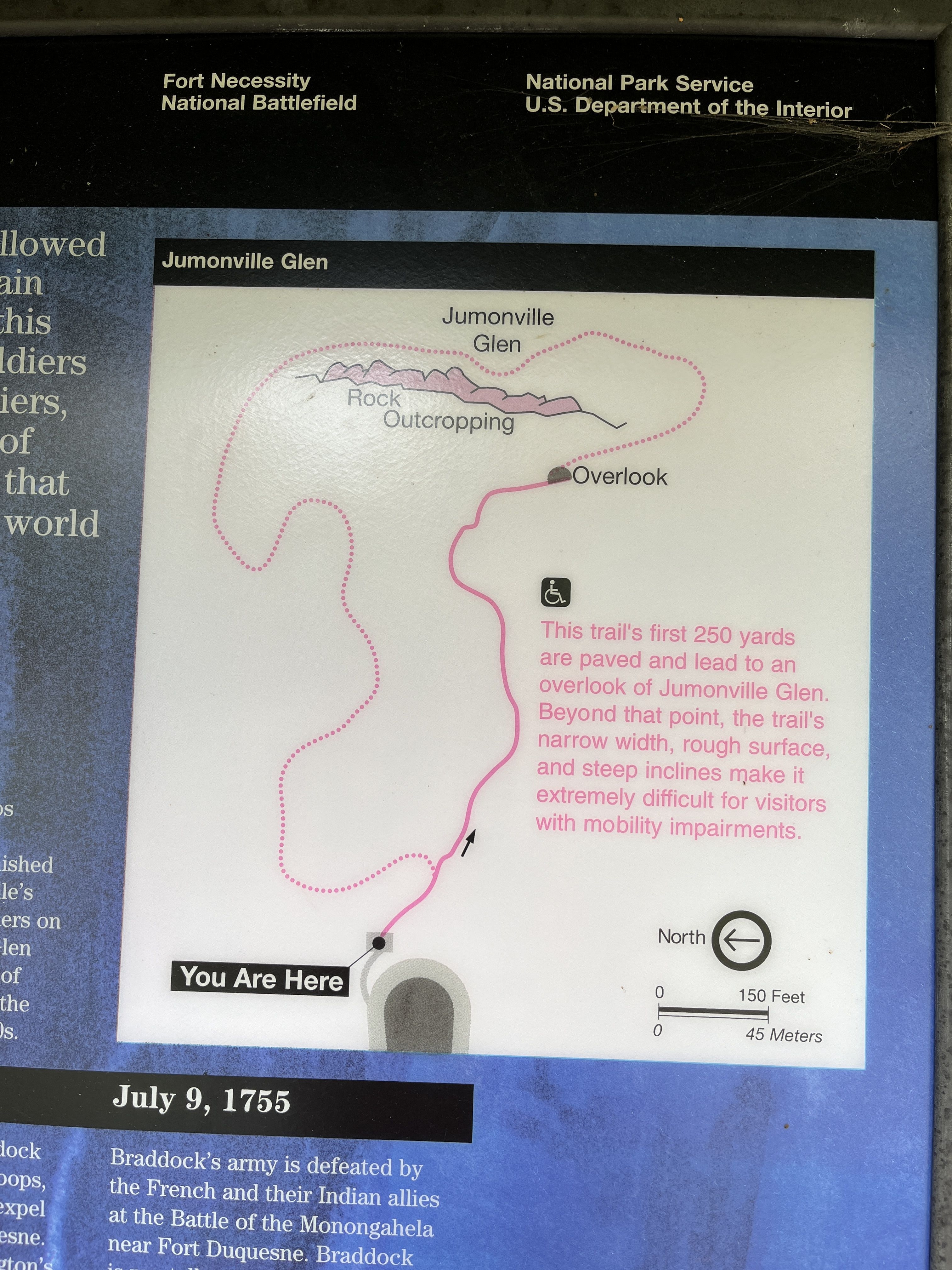
Jumonville Glen Trail Map | Additional Description:
The trail's first 250 yards are paved and lead to an overlook of Jumonville Glen. Beyond that point, the trail's narrow width, rough surface, and steep inclines make it extremely difficult for visitors with mobility impairments.
Submitted: October 8, 2022, by Craig Swain of Leesburg, Virginia.
Database Locator Identification Number: p682290
File Size: 3.627 Megabytes
To see the metadata that may be embedded in this photo, sign in and then return to this page.