Photograph as originally submitted to
this page in the Historical Marker Database
www.HMdb.org.
Click on photo to resize in browser. Scroll down to see metadata.
Photographer: Dale K. Benington
Taken: April 8, 2009
Caption:
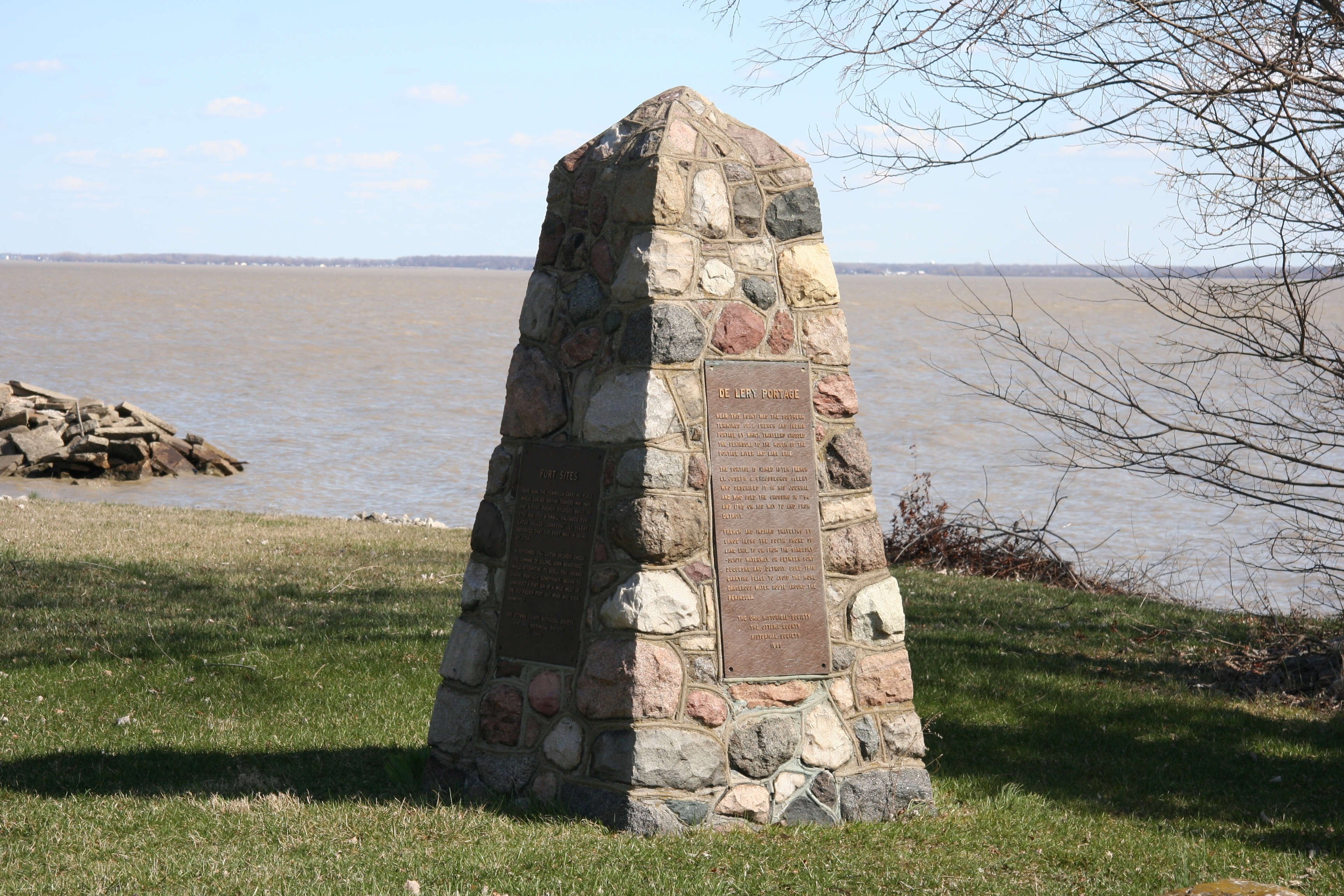
Old French War - Pontiac's Conspiracy - Revolutionary War Marker | Additional Description: View of the north and west faces of this historical marker, situated near the northern shoreline of Sandusky Bay.
Submitted: July 4, 2009, by Dale K. Benington of Toledo, Ohio.
Database Locator Identification Number: p69371
File Size: 4.250 Megabytes
To see the metadata that may be embedded in this photo, sign in and then return to this page.