Photograph as originally submitted to
this page in the Historical Marker Database
www.HMdb.org.
Click on photo to resize in browser. Scroll down to see metadata.
Photographer: Dale K. Benington
Taken: June 5, 2009
Caption:
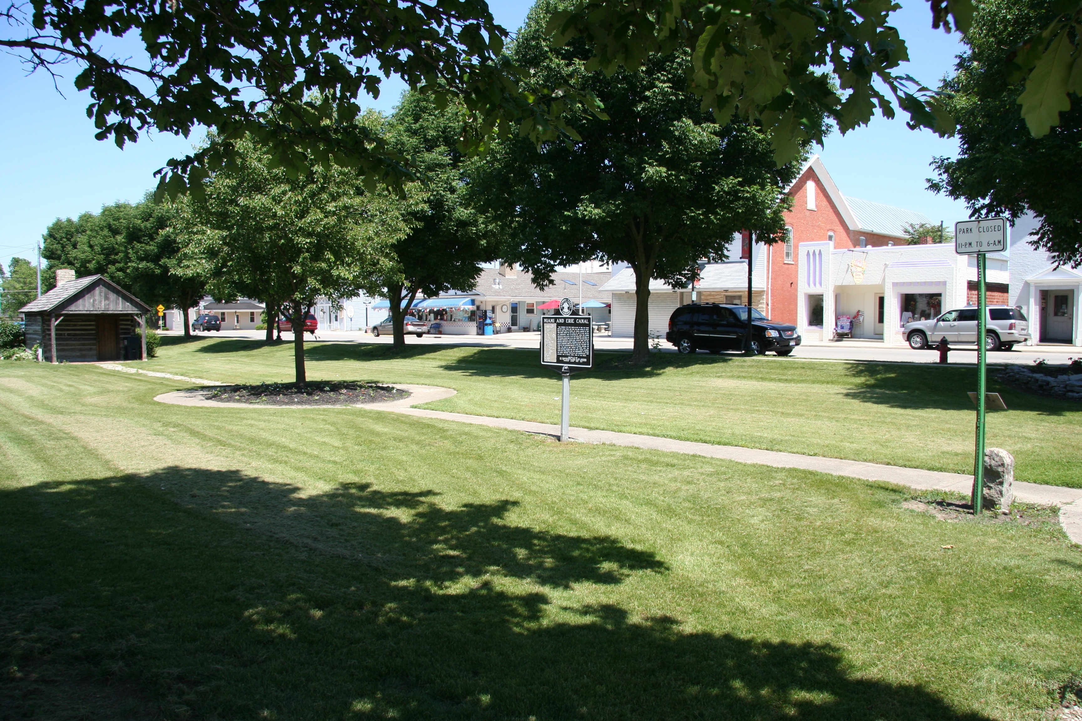
Greene Ville Treaty Line Marker | Additional Description: View of the historical marker that is situated in the middle of Fort Loramie's downtown Canal Park.
Submitted: July 6, 2009, by Dale K. Benington of Toledo, Ohio.
Database Locator Identification Number: p69661
File Size: 4.605 Megabytes
To see the metadata that may be embedded in this photo, sign in and then return to this page.