Photograph as originally submitted to
this page in the Historical Marker Database
www.HMdb.org.
Click on photo to resize in browser. Scroll down to see metadata.
Photographer: Adam Margolis
Taken: December 26, 2022
Caption:
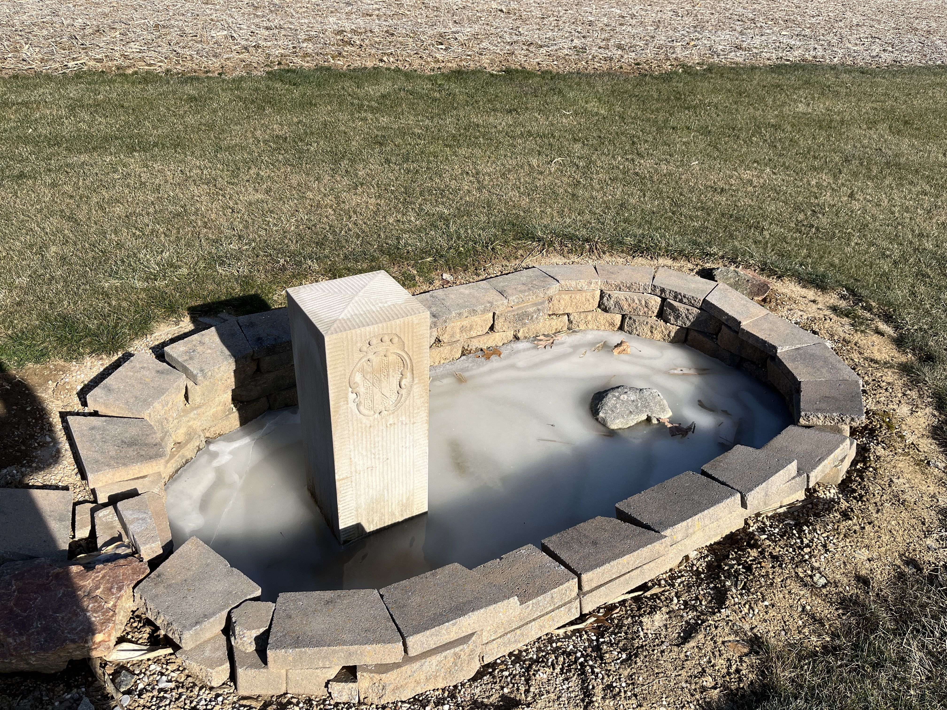
Crown Stone Mile 40 Marker | Additional Description: The original Mason and Dixon 40 mile stone is the rightmost of the two stones in the enclosure. The leftmost is a 2015 replica reproduction of what the original stone would have looked like. Out of all the stones along the northern border of Maryland, the original stone (the one on the right) is one of two undisturbed stones, meaning it has been left untouched since it was original set by Mason and Dixon in 1766. Most other stones have been partially reset and have had a concrete base that was added by a commission of PA and MD state surveyors in the early twentieth century. This stone was left untouched as the landowners at the time did not want state surveyors on their property.
Submitted: January 6, 2023, by Adam Margolis of Mission Viejo, California.
Database Locator Identification Number: p699013
File Size: 7.018 Megabytes
To see the metadata that may be embedded in this photo, sign in and then return to this page.