Photograph as originally submitted to
this page in the Historical Marker Database
www.HMdb.org.
Click on photo to resize in browser. Scroll down to see metadata.
Photographer: Craig Swain
Taken: July 5, 2009
Caption:
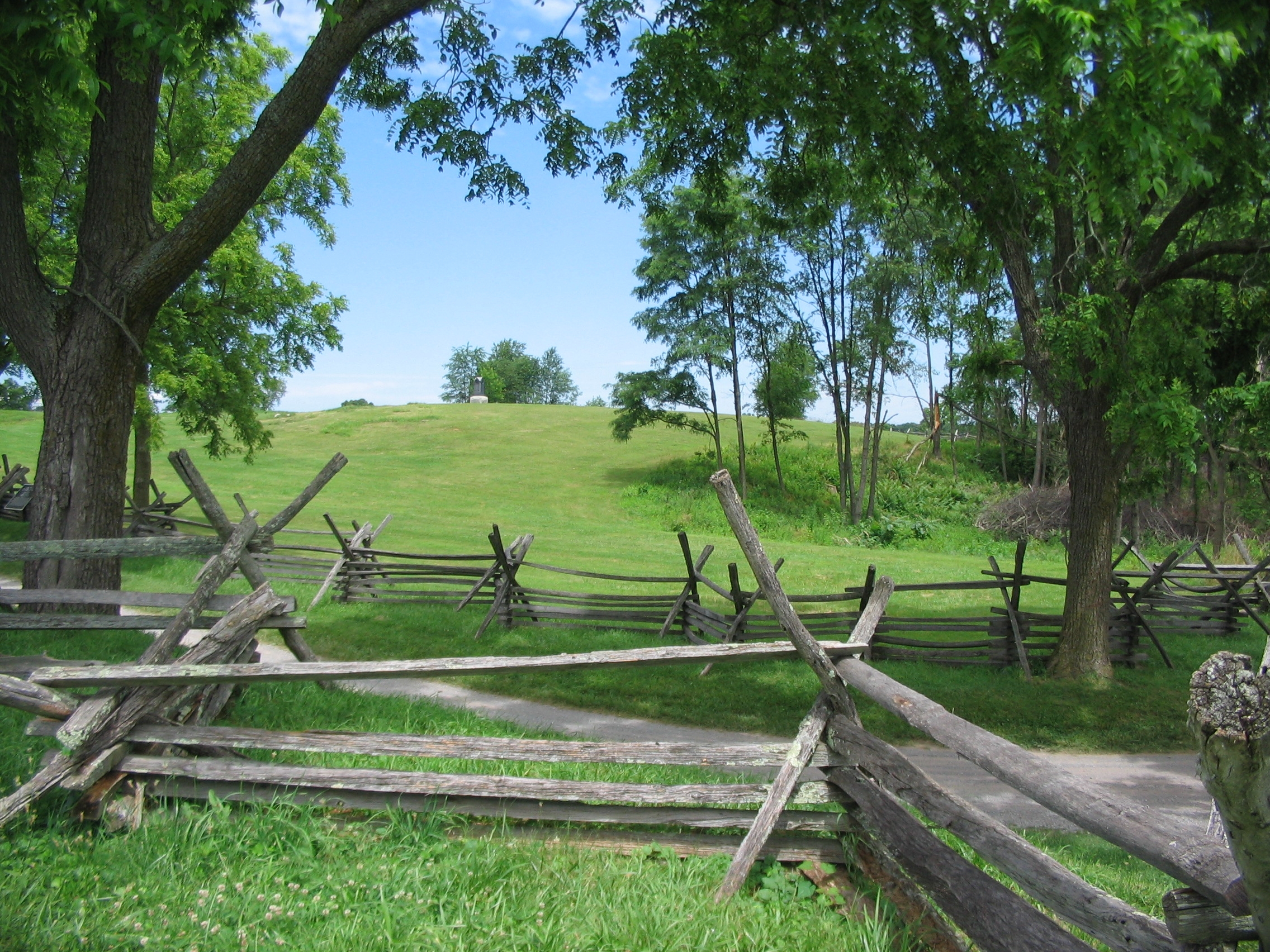
The Sunken Road or Bloody Lane | Additional Description: Looking from near the observation point to the northeast. The farm lane was bordered by two snake rail fences, as reconstructed here. Federals in French's Division first approached the sunken lane from across the open ground on the other side of the fences. The Confederates were concealed by the road embankment.
Submitted: July 11, 2009, by Craig Swain of Leesburg, Virginia.
Database Locator Identification Number: p70298
File Size: 1.576 Megabytes
To see the metadata that may be embedded in this photo, sign in and then return to this page.