Photograph as originally submitted to
this page in the Historical Marker Database
www.HMdb.org.
Click on photo to resize in browser. Scroll down to see metadata.
Photographer: Joel Seewald
Taken: February 12, 2023
Caption:
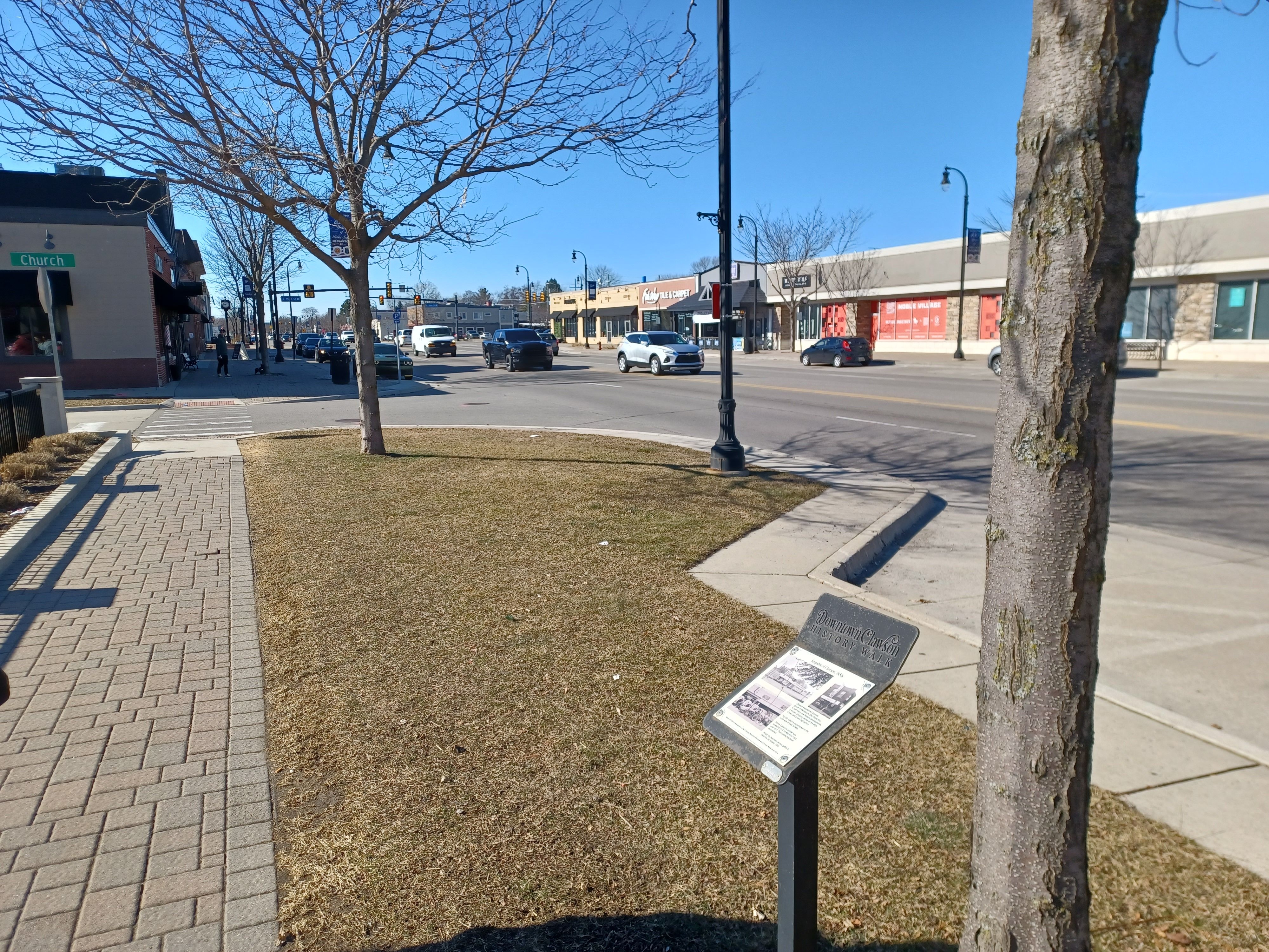
Snapshot of Clawson, 1950s Marker | Additional Description: View looking west along East 14 Mile Road with the intersection of 14 Mile Road and Main Street in the background.
Submitted: February 14, 2023, by Joel Seewald of Madison Heights, Michigan.
Database Locator Identification Number: p706111
File Size: 4.687 Megabytes
To see the metadata that may be embedded in this photo, sign in and then return to this page.