Photograph as originally submitted to
this page in the Historical Marker Database
www.HMdb.org.
Click on photo to resize in browser. Scroll down to see metadata.
Photographer: Library of Congress
Caption:
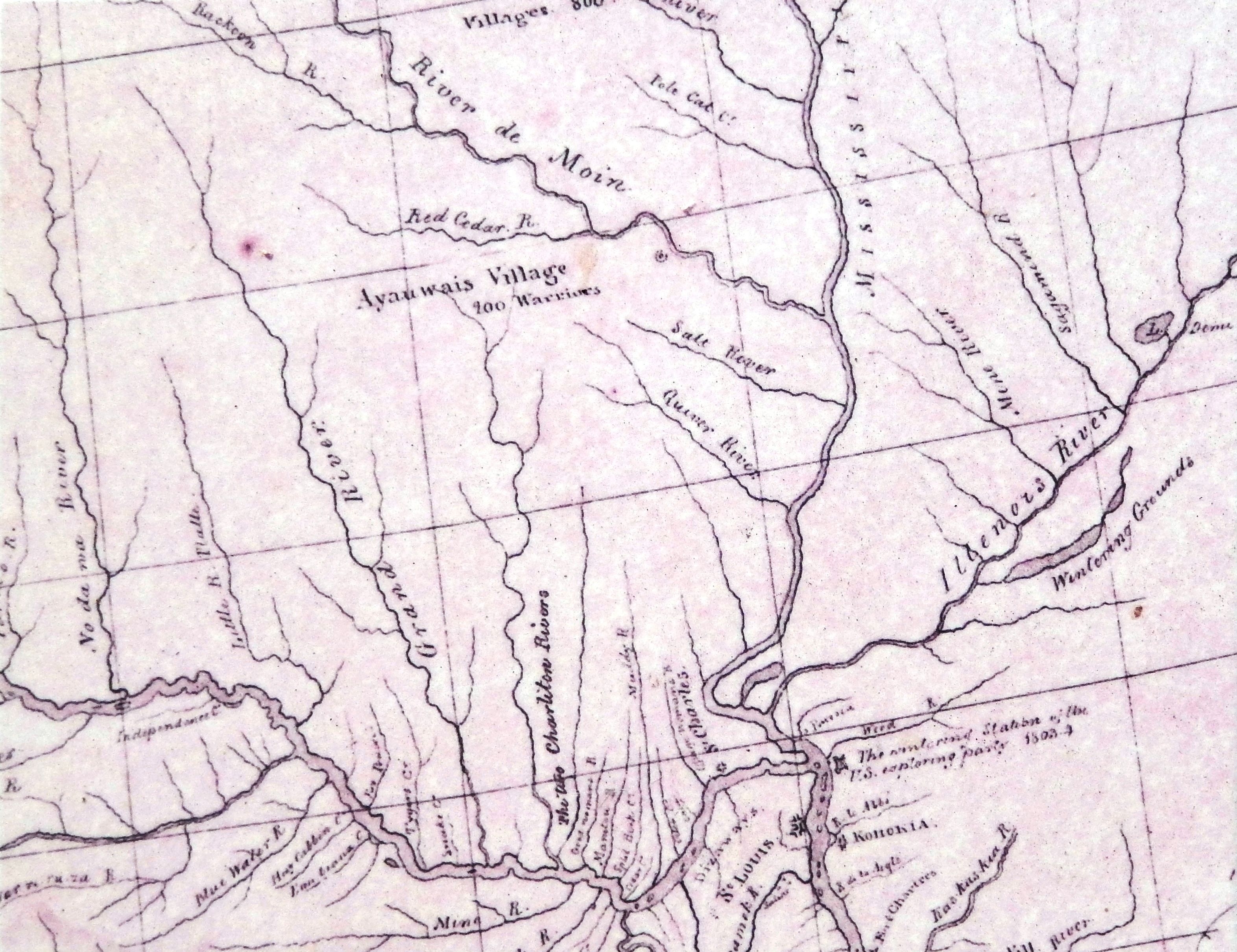
Marker detail: William Clark Chariton Rivers Map | Additional Description: This detail from a map copied by Nicholas King in 1805 from an original map by William Clark shows the two "Charleton" [Chariton] Rivers. This map shows William Clark's odd spelling for the Chariton Rivers and also provides an insight into how well Clark comprehended the extent of the two Chariton river systems and their potential as an avenue of commerce with the Iowa Indian Tribe.
Submitted: February 25, 2023, by Cosmos Mariner of Cape Canaveral, Florida.
Database Locator Identification Number: p708277
File Size: 3.100 Megabytes
To see the metadata that may be embedded in this photo, sign in and then return to this page.