Photograph as originally submitted to
this page in the Historical Marker Database
www.HMdb.org.
Click on photo to resize in browser. Scroll down to see metadata.
Photographer: J. J. Prats
Taken: June 22, 2009
Caption:
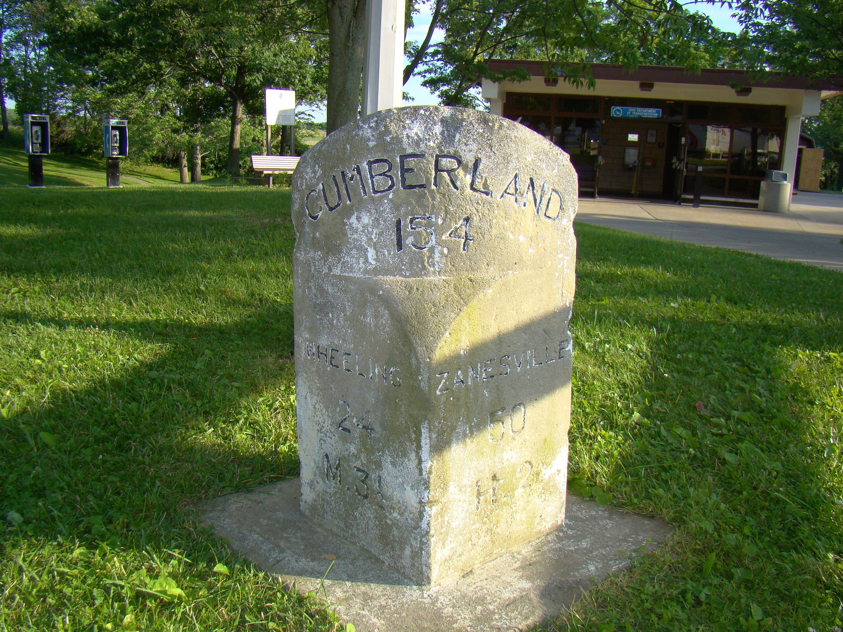
National Road Stone Mile Marker | Additional Description: This milestone at the base of the historical marker shows 154 miles to Cumberland, 24 miles to Wheeling (to the east) and 50 miles to Zanesville (to the west). National Road milestones in Ohio also showed the distance to the nearest small town, using just the first letter of the town’s name. This milestone was 3½ miles from “M." to the east and 2 miles from "H." to the west.
Submitted: July 24, 2009, by J. J. Prats of Powell, Ohio.
Database Locator Identification Number: p71628
File Size: 3.269 Megabytes
To see the metadata that may be embedded in this photo, sign in and then return to this page.