Photograph as originally submitted to
this page in the Historical Marker Database
www.HMdb.org.
Click on photo to resize in browser. Scroll down to see metadata.
Photographer: Craig Swain
Taken: July 25, 2009
Caption:
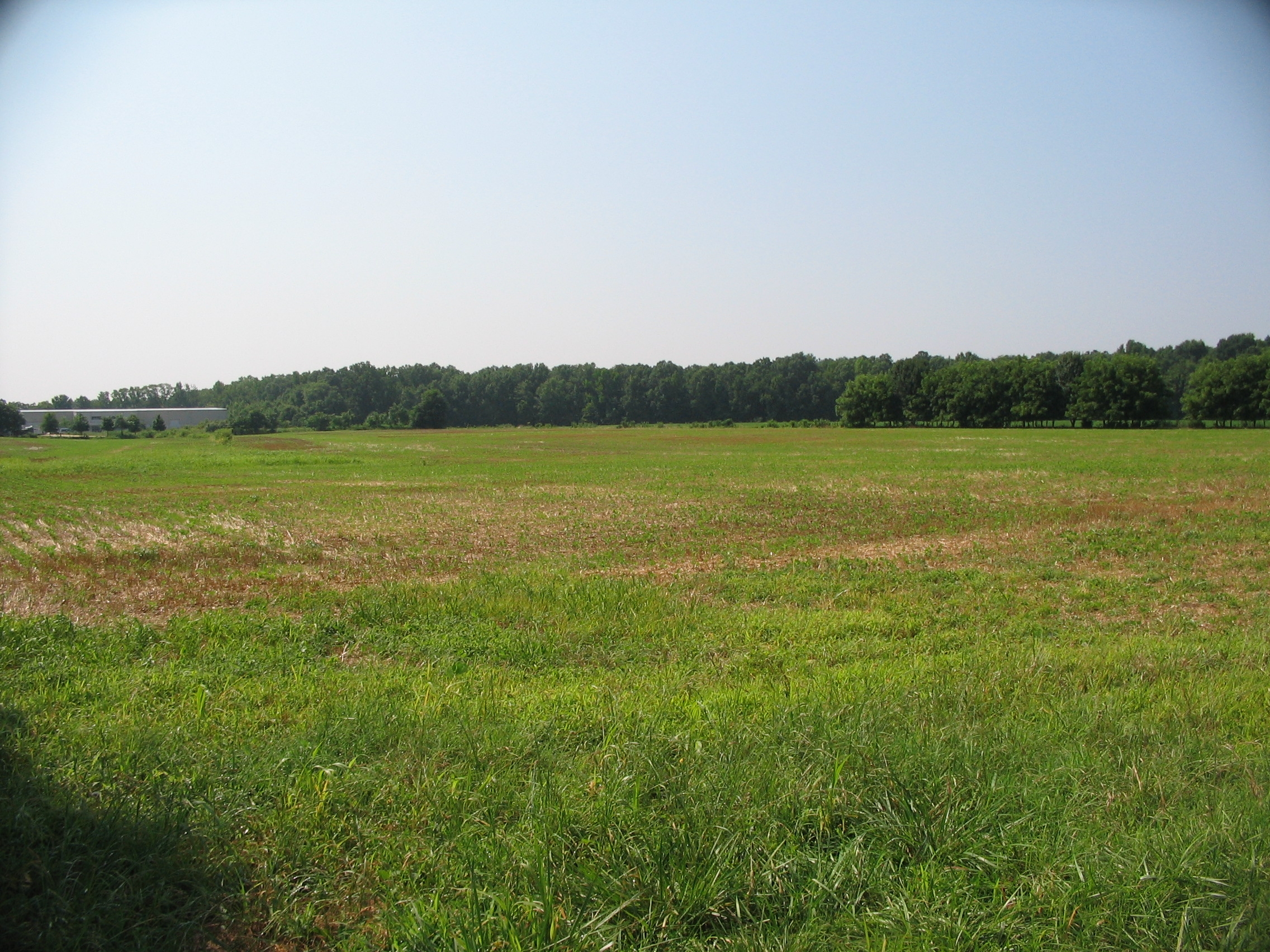
Meade's Attack Finds the Gap | Additional Description: Looking to the southeast from the trail (at a point beyond the marker). Meade's attack drove over the railroad line that runs through the far wood line, and into the swampy bottom land beyond. While the bottom land is on the National Park Service property, the open field over which Meade's men advanced is partly an industrial park today.
Submitted: July 27, 2009, by Craig Swain of Leesburg, Virginia.
Database Locator Identification Number: p72011
File Size: 1.381 Megabytes
To see the metadata that may be embedded in this photo, sign in and then return to this page.