Photograph as originally submitted to
this page in the Historical Marker Database
www.HMdb.org.
Click on photo to resize in browser. Scroll down to see metadata.
Photographer: Syd Whittle
Taken: July 26, 2009
Caption:
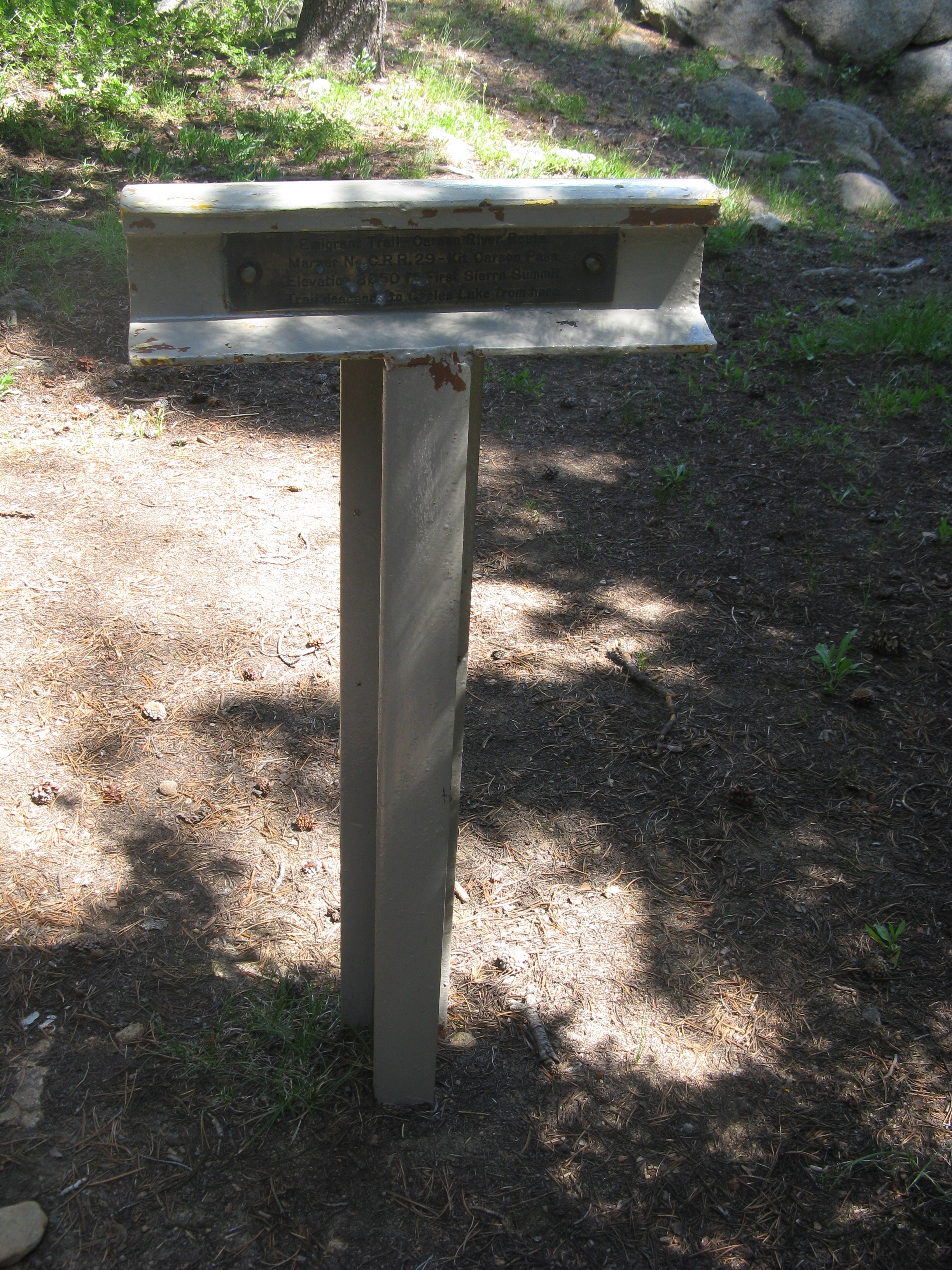
Carson River Route C.R.R. 29 | Additional Description:
Back of Trail Marker:
Emigrant Trail - Carson River Route
Marker No. C.R.R.29 - Kit Carson Pass
Elevation 8650 ft. First Sierra Summit
Trail descends to Caples Lake from here.Submitted: August 1, 2009, by Syd Whittle of Mesa, Arizona.
Database Locator Identification Number: p72462
File Size: 3.230 Megabytes
To see the metadata that may be embedded in this photo, sign in and then return to this page.