Photograph as originally submitted to
this page in the Historical Marker Database
www.HMdb.org.
Click on photo to resize in browser. Scroll down to see metadata.
Photographer: Craig Swain
Taken: August 1, 2009
Caption:
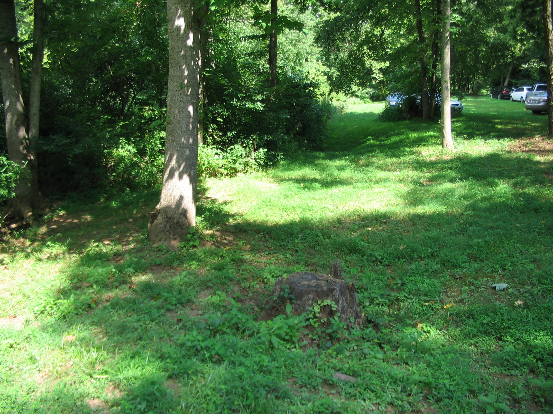
Road Trace | Additional Description: The road met a fork just past the bridge/ford site. The trace of a road that ran south toward the Rapidan River, (Ely's and Germannia Fords) appears as a sunken cut beside the river bank. The other road ran northwest toward the Old Carolina Road, Brandy Station, and Culpeper.
Submitted: August 2, 2009, by Craig Swain of Leesburg, Virginia.
Database Locator Identification Number: p72580
File Size: 1.703 Megabytes
To see the metadata that may be embedded in this photo, sign in and then return to this page.