Photograph as originally submitted to
this page in the Historical Marker Database
www.HMdb.org.
Click on photo to resize in browser. Scroll down to see metadata.
Photographer: Mike Stroud
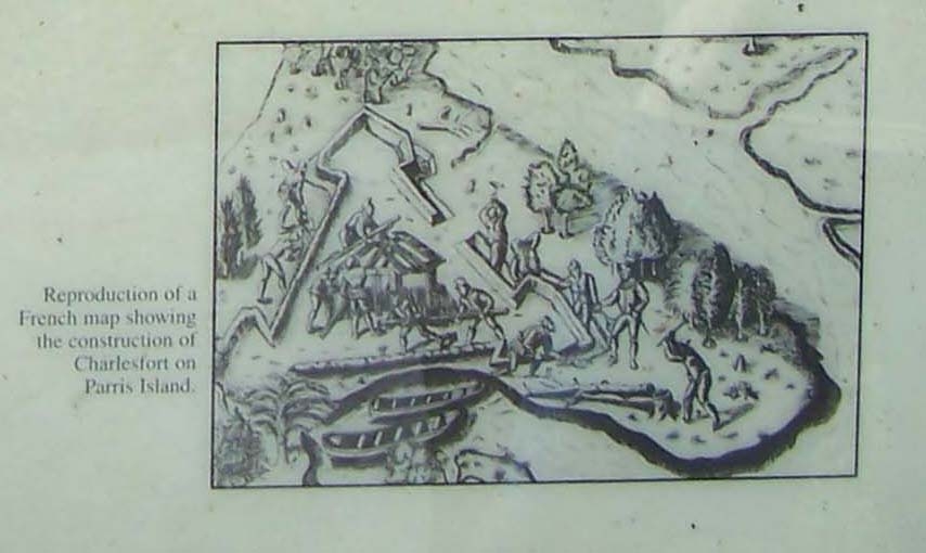
Caption:
Reproduction of a French map showing the construction of Charlesfort | Submitted: August 8, 2009, by Mike Stroud of Bluffton, South Carolina.
Database Locator Identification Number: p73102
File Size: 0.068 Megabytes
To see the metadata that may be embedded in this photo, sign in and then return to this page.