Photograph as originally submitted to
this page in the Historical Marker Database
www.HMdb.org.
Click on photo to resize in browser. Scroll down to see metadata.
Photographer: J. J. Prats
Taken: August 2, 2009
Caption:
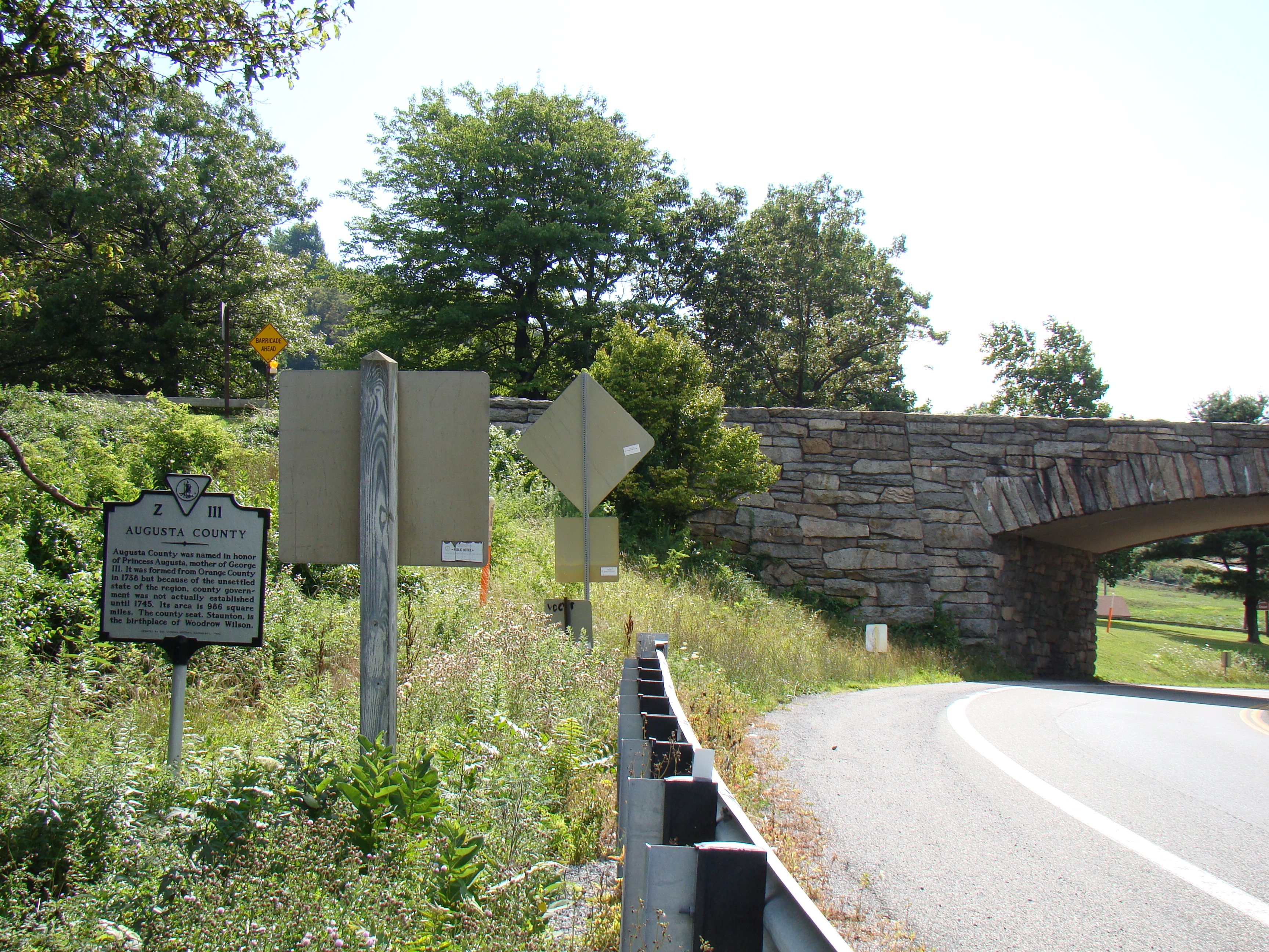
Nelson County / Augusta County Marker | Additional Description: Marker is at the western edge of Rockfish Gap in the Blue Ridge Mountain Range, at the edge of Afton Mountain. Route 250, I-64, the Blue Ridge Parkway (bridge over 250 in the background) and the former C&O Railroad squeeze through this narrow gap at this point. Afton Mountain Road (Virginia Route 6) and Howardsville Turnpike (which does not go anywhere near Howardsville) both start at this gap.
Submitted: August 16, 2009, by J. J. Prats of Powell, Ohio.
Database Locator Identification Number: p74139
File Size: 3.452 Megabytes
To see the metadata that may be embedded in this photo, sign in and then return to this page.