Photograph as originally submitted to
this page in the Historical Marker Database
www.HMdb.org.
Click on photo to resize in browser. Scroll down to see metadata.
Photographer: Craig Swain
Taken: September 15, 2007
Caption:
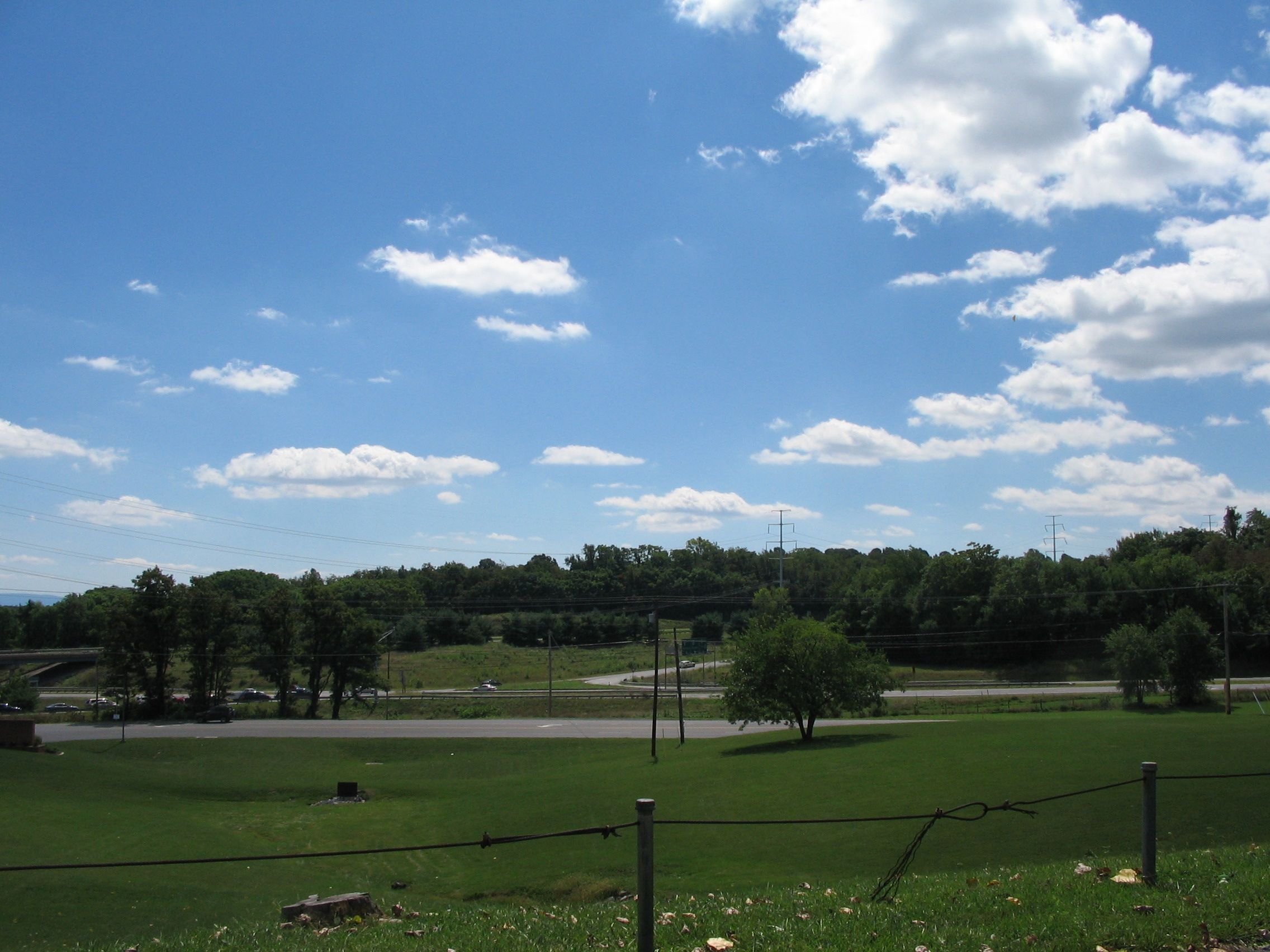
West Fort | Additional Description: The location of West Fort is not accessible, and very little of the site remains for investigation. A series of earthwork forts stood in the trees along present day Virginia Highway 37 bypass. This picture was taken from Apple Pie Ridge, near the James Wood High School, looking at the intersection of U.S. Highway 522 and Highway 37 Bypass.
West Fort was also named "Battery Number 5" and located between modern Fox Drive and Highway 37. "Battery Number 6" stood in the vicinity of the intersection (center of this photo). "Battery Number 7" was located what is now the high school grounds.
Submitted: September 23, 2007, by Craig Swain of Leesburg, Virginia.
Database Locator Identification Number: p7453
File Size: 0.862 Megabytes
To see the metadata that may be embedded in this photo, sign in and then return to this page.