Photograph as originally submitted to
this page in the Historical Marker Database
www.HMdb.org.
Click on photo to resize in browser. Scroll down to see metadata.
Photographer: Mike Stroud
Taken: August 29, 2009
Caption:
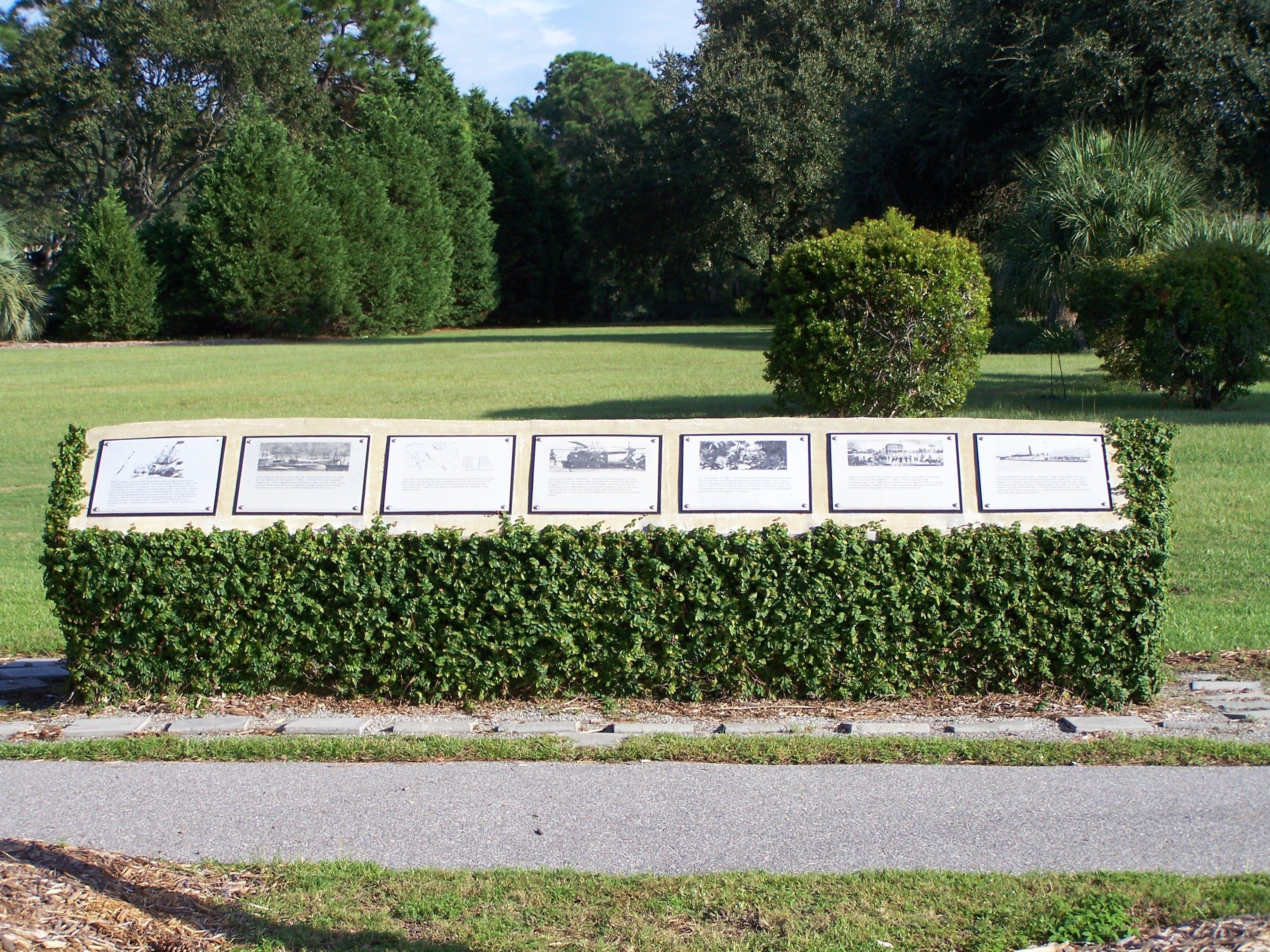
The Hilton Head Island Historical Society , Port Royal Interpretive Markers | Additional Description: Along S.Port Royal Drive and Beach House Drive in Port Royal Plantation, Hilton Head Island
Coordinates: 32.219908,-80.67118
Submitted: August 30, 2009, by Mike Stroud of Bluffton, South Carolina.
Database Locator Identification Number: p75525
File Size: 2.817 Megabytes
To see the metadata that may be embedded in this photo, sign in and then return to this page.