Photograph as originally submitted to
this page in the Historical Marker Database
www.HMdb.org.
Click on photo to resize in browser. Scroll down to see metadata.
Photographer: Michael Herrick
Taken: August 26, 2009
Caption:
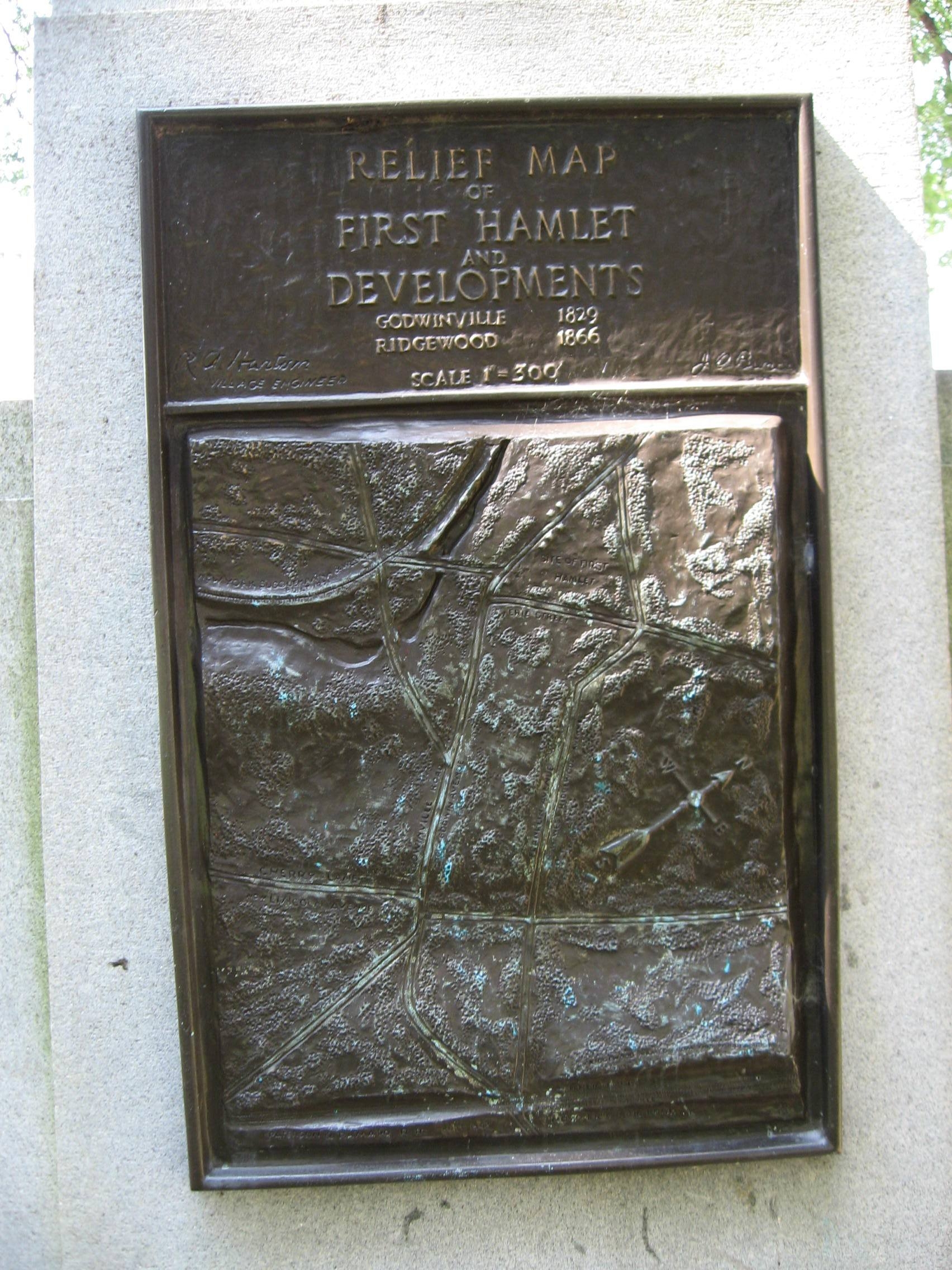
Relief Map of the Area on the Back of the Monument. | Additional Description:
Relief Map
of
First Hamlet
and
Developments
Godwinville 1829
Ridgewood 1866
Scale 1" = 300'Submitted: September 3, 2009, by Michael Herrick of Southbury, Connecticut.
Database Locator Identification Number: p76075
File Size: 0.527 Megabytes
To see the metadata that may be embedded in this photo, sign in and then return to this page.