Photograph as originally submitted to
this page in the Historical Marker Database
www.HMdb.org.
Click on photo to resize in browser. Scroll down to see metadata.
Photographer: Dale K. Benington
Taken: June 5, 2009
Caption:
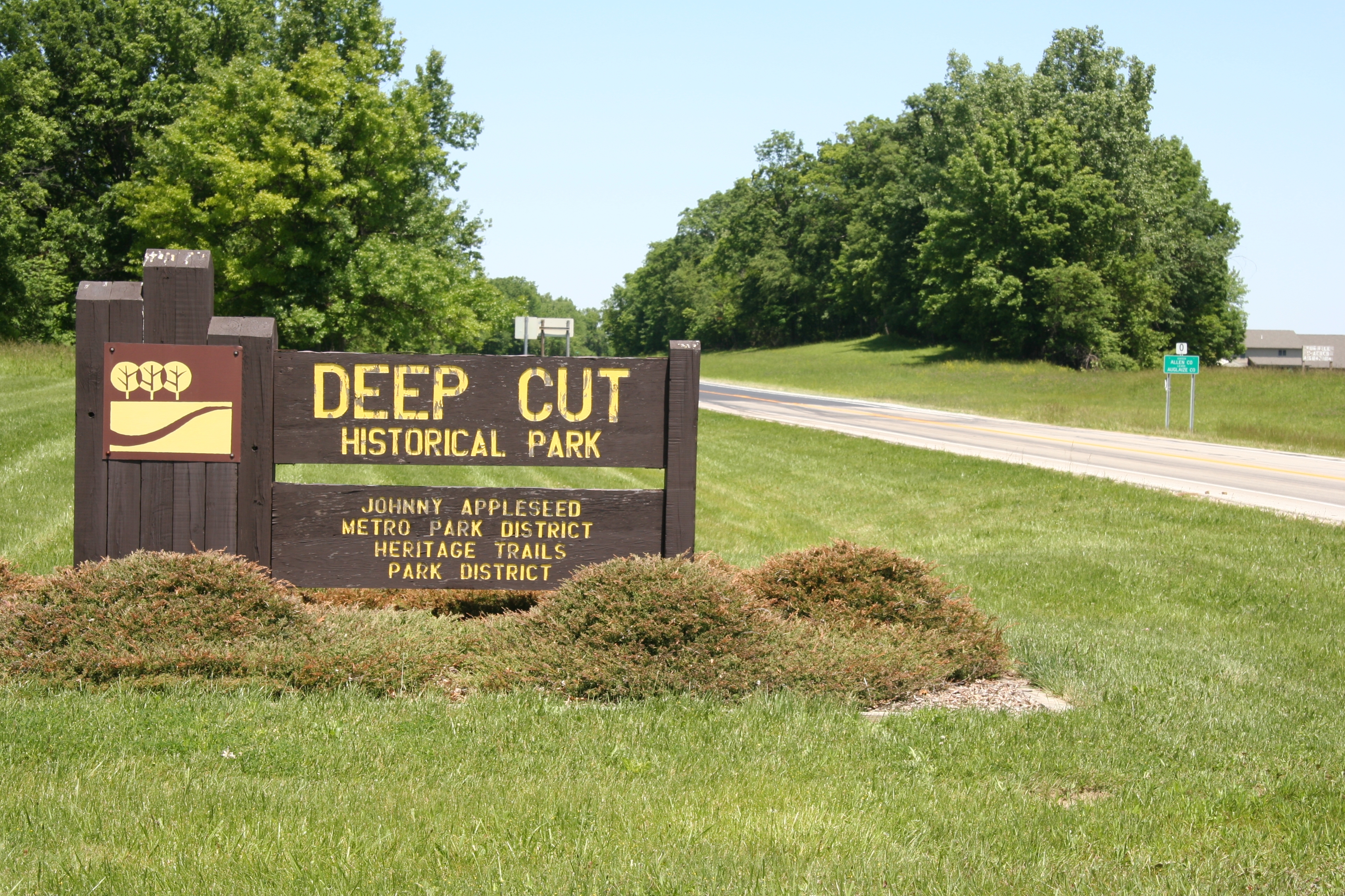
Miami & Erie Canal Deep Cut | Additional Description: View of "Deep Cut" Historical Park sign situated along the western side of state route 66, with a view of the Allen County - Auglaize County line marker in the distant background on the eastern side of state route 66.
Submitted: September 29, 2009, by Dale K. Benington of Toledo, Ohio.
Database Locator Identification Number: p78950
File Size: 4.754 Megabytes
To see the metadata that may be embedded in this photo, sign in and then return to this page.