Photograph as originally submitted to
this page in the Historical Marker Database
www.HMdb.org.
Click on photo to resize in browser. Scroll down to see metadata.
Photographer: Craig Swain
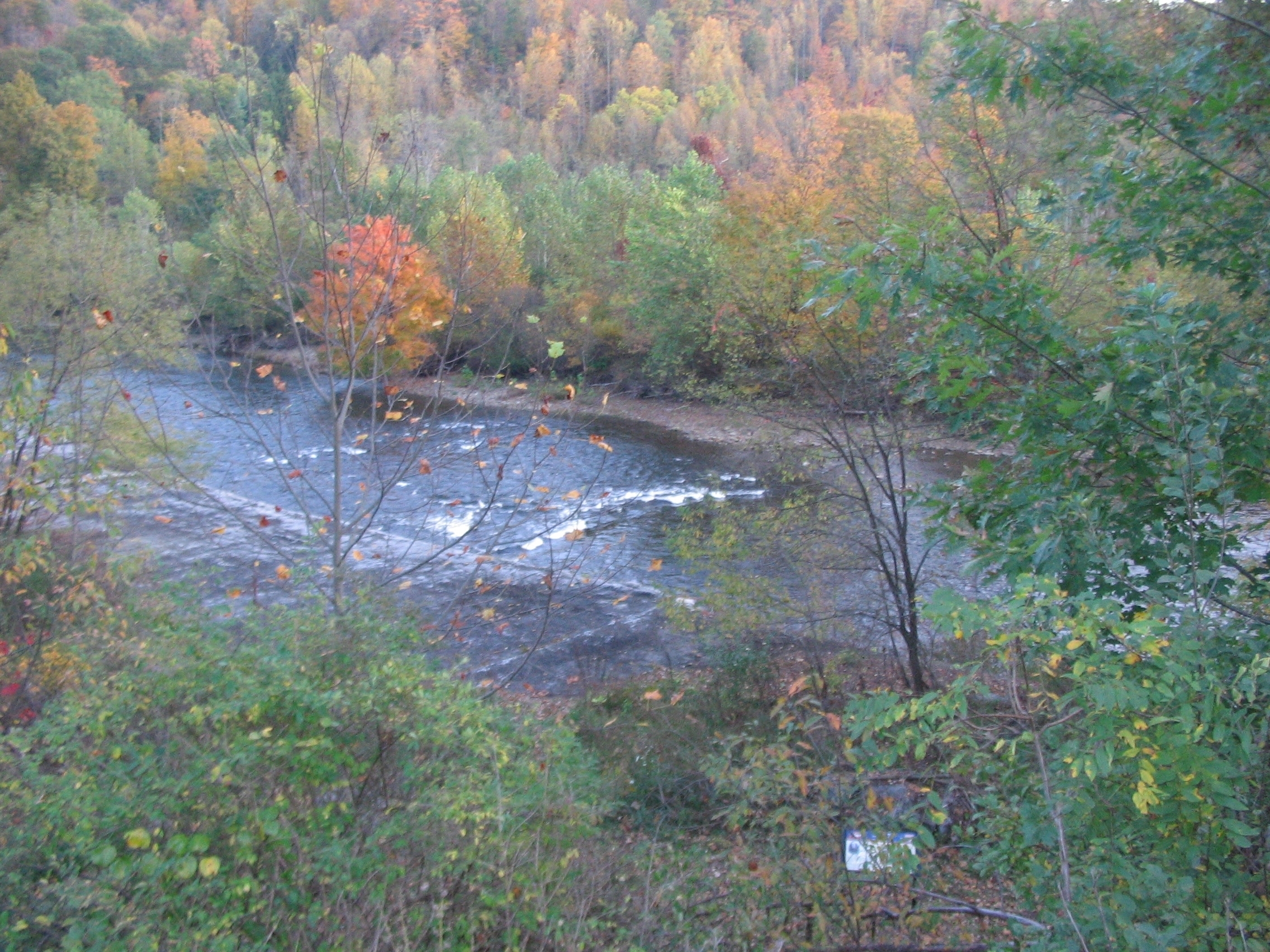
Caption:
Corrick's Ford | Additional Description: Looking from the marker location toward the area of Corrick's Ford over Shavers Fork. The gray area on the near side bank is actually a modern embankment to reduce erosion. Below the marker location on the road runs the Allegheny Highlands Trail, an old railroad bed that crosses through next to the river. Beside the trail is a marker further explaining the battle. The railroad line dated to the early 20th century, and did not factor into the battle.
Submitted: October 25, 2009, by Craig Swain of Leesburg, Virginia.
Database Locator Identification Number: p82027
File Size: 1.478 Megabytes
To see the metadata that may be embedded in this photo, sign in and then return to this page.