Photograph as originally submitted to
this page in the Historical Marker Database
www.HMdb.org.
Click on photo to resize in browser. Scroll down to see metadata.
Photographer: Craig Swain
Taken: July 28, 2007
Caption:
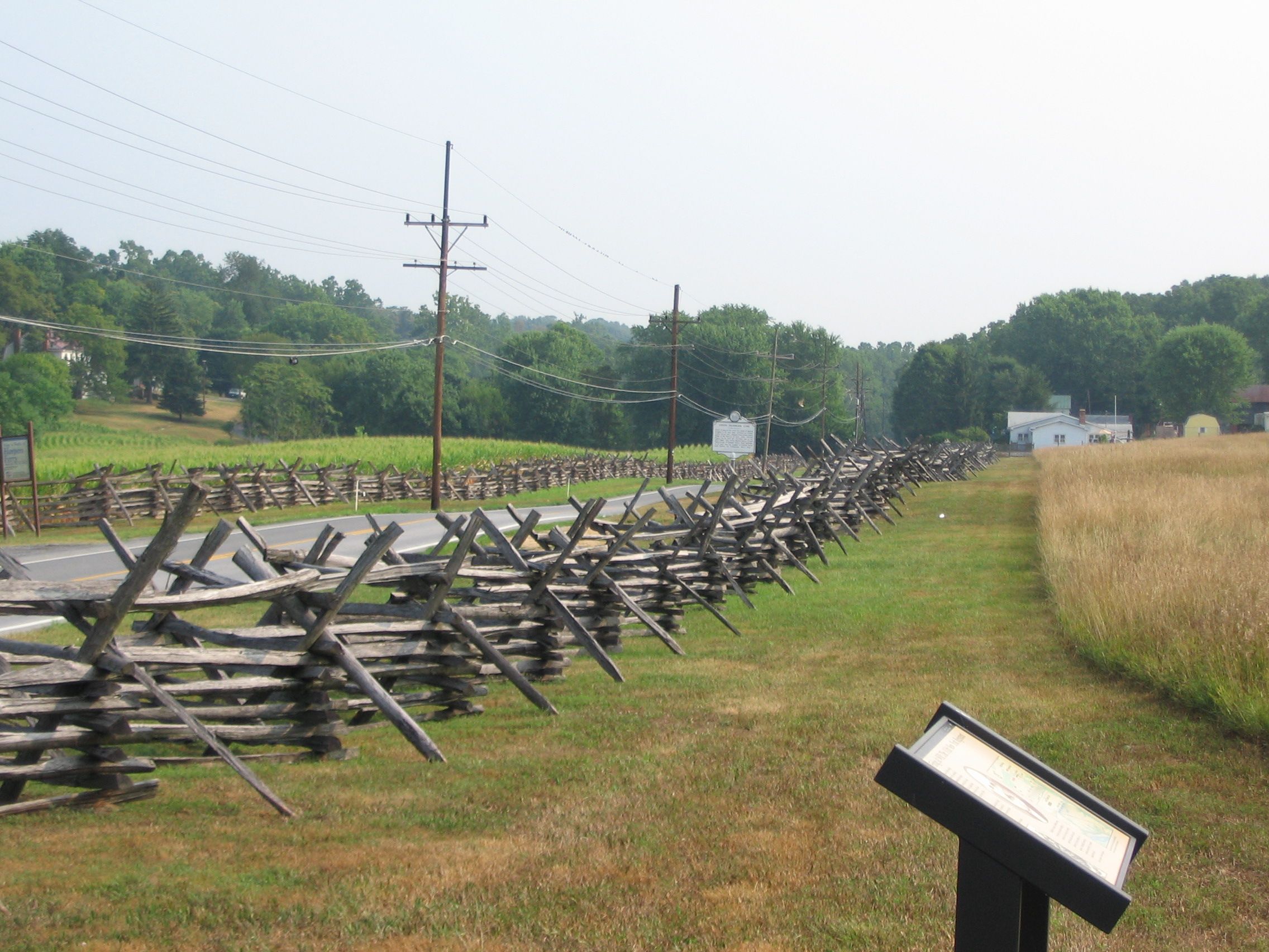
Bakerton Road | Additional Description: Modern Bakerton Road runs the valley between Schoolhouse Ridge and Bolivar Heights. During the battle for Harpers Ferry on 14 September 1862, Federals pushed skirmishers out into the valley as an early warning to Confederate advances. Unfortunately, this was a rather exposed position.
Submitted: October 13, 2007, by Craig Swain of Leesburg, Virginia.
Database Locator Identification Number: p8297
File Size: 1.057 Megabytes
To see the metadata that may be embedded in this photo, sign in and then return to this page.