Photograph as originally submitted to
this page in the Historical Marker Database
www.HMdb.org.
Click on photo to resize in browser. Scroll down to see metadata.
Photographer: Michael Herrick
Taken: November 10, 2009
Caption:
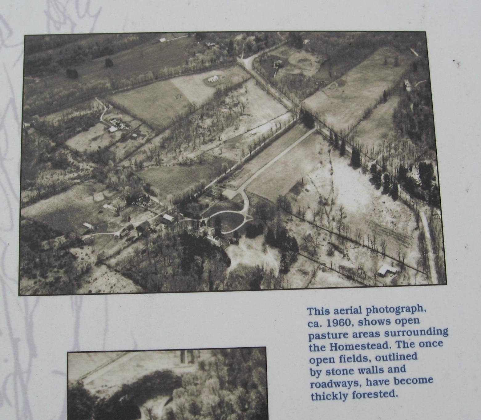
Aerial View | Additional Description:
[ detail from the marker ] This aerial photograph, ca. 1960, shows open pasture areas surrounding the Homestead. The once open fields, outlined by stone walls and roadways, have become thickly forested.
Submitted: November 21, 2009, by Michael Herrick of Southbury, Connecticut.
Database Locator Identification Number: p86511
File Size: 0.211 Megabytes
To see the metadata that may be embedded in this photo, sign in and then return to this page.