Photograph as originally submitted to
this page in the Historical Marker Database
www.HMdb.org.
Click on photo to resize in browser. Scroll down to see metadata.
Photographer: U.S. Geological Survey
Taken: Nov 2009
Caption:
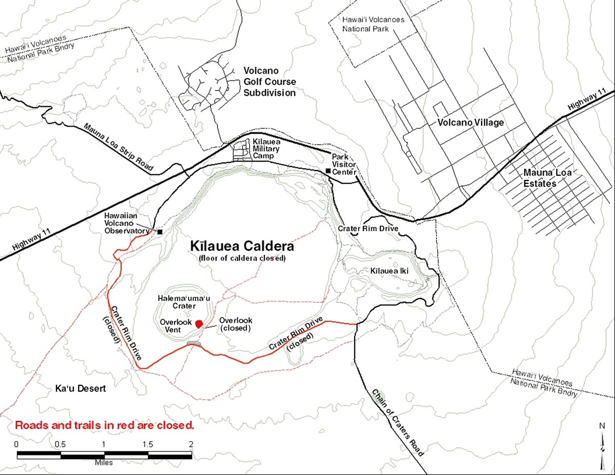
Kilauea Caldera Map | Additional Description: This map by the U.S. Geological Survey shows the location of the Halema'uma'u Crater and the closed Crater Overlook which is the location of
The "Firepit" of Halema'uma'u marker.
Submitted: January 5, 2010, by Howard C. Ohlhous of Duanesburg, New York.
Database Locator Identification Number: p91921
File Size: 0.170 Megabytes
To see the metadata that may be embedded in this photo, sign in and then return to this page.